Kew Area, Kew Postcode(9012) & Map in Kew
Kew Area, Kew Postcode(9012) & Map in Kew, Invercargill City, New Zealand
Kew, Invercargill City, New Zealand
Kew Postcodes
Kew Area (estimated)
1.7 square kilometersKew Population (estimated)
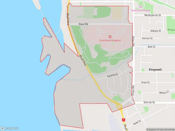
695 people live in Kew, Dunedin, NZKew Suburb Area Map (Polygon)
Kew Introduction
Kew is a small rural community in Invercargill, Southland, New Zealand. It is located on the southern bank of the Otaheite River, approximately 10 kilometers south of Invercargill city center. The area was first settled by Scottish immigrants in the 1860s and has since developed into a thriving farming community. Kew is known for its picturesque scenery, including rolling hills, lush green fields, and the Otaheite River. The community has a primary school, a post office, a convenience store, and a community hall.Region
Major City
Suburb Name
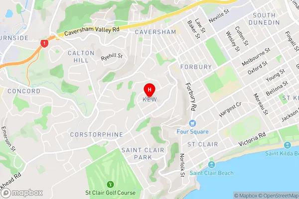
KewKew Area Map (Street)
Local Authority
Invercargill CityFull Address
Kew, Invercargill City, New ZealandAddress Type
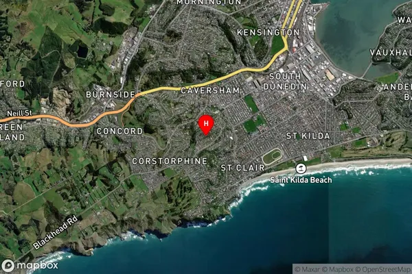
Suburb in City InvercargillKew Suburb Map (Satellite)
Country
Main Region in AU
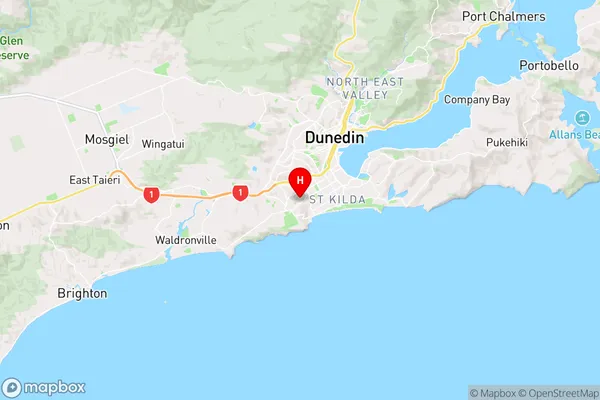
OtagoKew Region Map
Coordinates
-45.9040047,170.4800034 (latitude/longitude)Distances
The distance from Kew, Invercargill, Invercargill City to NZ Top 10 Cities