Frear Bay Area, Frear Bay Postcode & Map in Frear Bay
Frear Bay Area, Frear Bay Postcode & Map in Frear Bay, Area outside Territorial Authority, New Zealand
Frear Bay, Area outside Territorial Authority, New Zealand
Frear Bay Area (estimated)
0.3 square kilometersFrear Bay Population (estimated)
0 people live in Frear Bay, Northland, NZFrear Bay Suburb Area Map (Polygon)
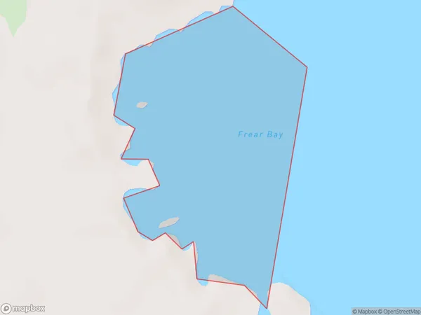
Frear Bay Introduction
Frear Bay is a picturesque bay located in the Northland region of New Zealand. It is known for its stunning turquoise waters, white sandy beaches, and surrounding natural beauty. The bay is a popular spot for swimming, kayaking, and fishing, and it is also home to a small community of residents. The bay is surrounded by rugged cliffs and dense forests, and it is a protected area under the New Zealand Department of Conservation.Region
Suburb Name
Frear BayOther Name(s)
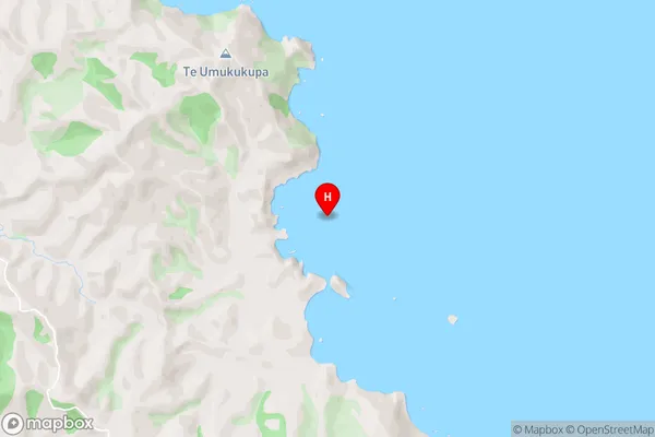
Whangaroa BayFrear Bay Area Map (Street)
Local Authority
Area outside Territorial AuthorityFull Address
Frear Bay, Area outside Territorial Authority, New ZealandAddress Type
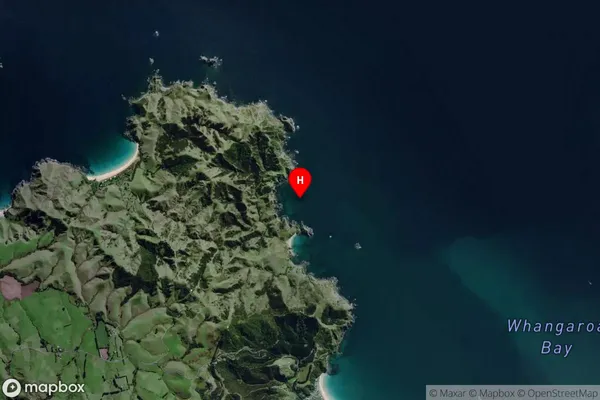
Coastal BayFrear Bay Suburb Map (Satellite)
Country
Main Region in AU
NorthlandFrear Bay Region Map

Coordinates
-34.9649582,173.7061858 (latitude/longitude)Distances
The distance from Frear Bay, , Area outside Territorial Authority to NZ Top 10 Cities