Franks Bay Area, Franks Bay Postcode(9600) & Map in Franks Bay
Franks Bay Area, Franks Bay Postcode(9600) & Map in Franks Bay, Southland District, New Zealand
Franks Bay, Southland District, New Zealand
Franks Bay Postcodes
Franks Bay Area (estimated)
0.0 square kilometersFranks Bay Population (estimated)
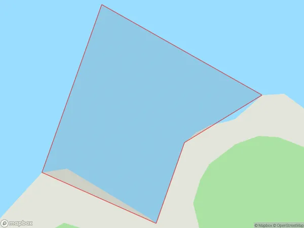
0 people live in Franks Bay, Fiordland Community, NZFranks Bay Suburb Area Map (Polygon)
Franks Bay Introduction
Franks Bay is a picturesque beach located in Southland, New Zealand. It is known for its crystal-clear waters, stunning sunsets, and peaceful surroundings. The bay is a popular spot for swimming, kayaking, and fishing, and it is surrounded by lush forests and mountains. Visitors can also enjoy walking along the beach or exploring the nearby hiking trails. Franks Bay is a must-visit destination for anyone looking for a relaxing and scenic vacation in New Zealand.Region
Major City
Suburb Name
Franks BayOther Name(s)
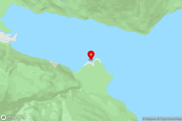
Worsley Arm, Lake Te AnauFranks Bay Area Map (Street)
Local Authority
Southland DistrictFull Address
Franks Bay, Southland District, New ZealandAddress Type
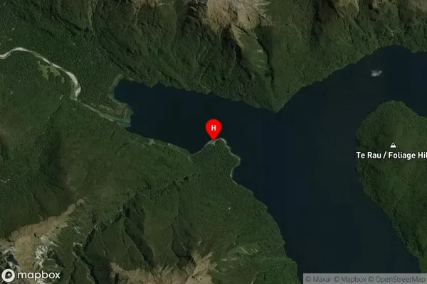
Inland BayFranks Bay Suburb Map (Satellite)
Country
Main Region in AU
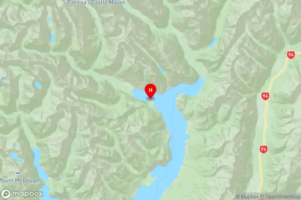
SouthlandFranks Bay Region Map
Coordinates
-44.951857,167.858839 (latitude/longitude)Distances
The distance from Franks Bay, , Southland District to NZ Top 10 Cities