Fowlers Arm Area, Fowlers Arm Postcode & Map in Fowlers Arm
Fowlers Arm Area, Fowlers Arm Postcode & Map in Fowlers Arm, Southland District, New Zealand
Fowlers Arm, Southland District, New Zealand
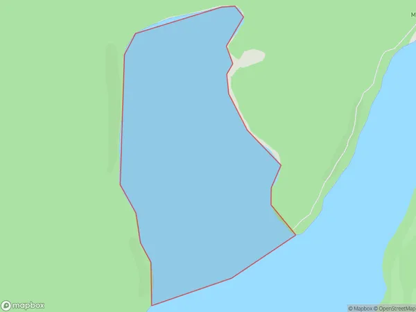
Fowlers Arm Area (estimated)
0.8 square kilometersFowlers Arm Population (estimated)
0 people live in Fowlers Arm, Tuatapere Te Waewae Community, NZFowlers Arm Suburb Area Map (Polygon)
Fowlers Arm Introduction
Fowlers Arm is a small settlement in Southland, New Zealand. It is located on State Highway 6, between Gore and Te Anau. The area is known for its scenic beauty, with the Fowlers Arm River flowing through it. The settlement has a hotel, a restaurant, and a few other amenities. It is a popular stop for tourists traveling to the Fiordland National Park.Region
Major City
Suburb Name
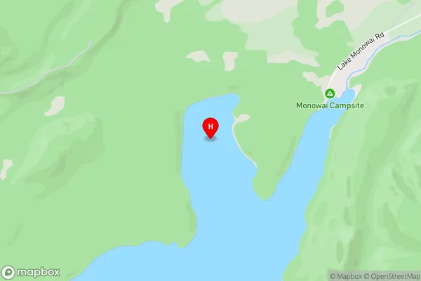
Fowlers ArmOther Name(s)
Monowai LakeFowlers Arm Area Map (Street)
Local Authority
Southland DistrictFull Address
Fowlers Arm, Southland District, New ZealandAddress Type
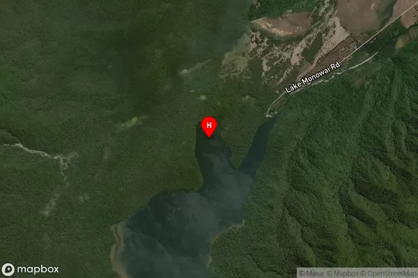
Inland BayFowlers Arm Suburb Map (Satellite)
Country
Main Region in AU
SouthlandFowlers Arm Region Map

Coordinates
-45.8155318,167.5075128 (latitude/longitude)Distances
The distance from Fowlers Arm, , Southland District to NZ Top 10 Cities