Fishing Bay Area, Fishing Bay Postcode & Map in Fishing Bay
Fishing Bay Area, Fishing Bay Postcode & Map in Fishing Bay, Marlborough District, New Zealand
Fishing Bay, Marlborough District, New Zealand
Fishing Bay Area (estimated)
0.1 square kilometersFishing Bay Population (estimated)
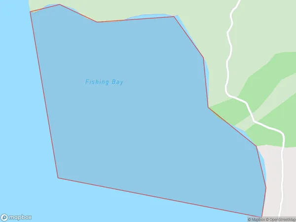
0 people live in Fishing Bay, Marlborough, NZFishing Bay Suburb Area Map (Polygon)
Fishing Bay Introduction
Fishing Bay is a picturesque and peaceful bay located in Marlborough, New Zealand. It is known for its clear waters, stunning coastal scenery, and diverse marine life. The bay is a popular spot for fishing, boating, and swimming, and it is surrounded by lush green hills and vineyards. Visitors can also enjoy nearby wineries and restaurants, making it a perfect destination for a relaxing weekend getaway.Region
Suburb Name
Fishing BayOther Name(s)
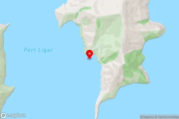
Port Ligar, Waitata Reach (Maori Name: Port Ligar, Waitātā Reach)Fishing Bay Area Map (Street)
Local Authority
Marlborough DistrictFull Address
Fishing Bay, Marlborough District, New ZealandAddress Type
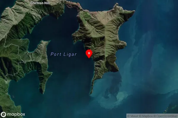
Coastal BayFishing Bay Suburb Map (Satellite)
Country
Main Region in AU
MarlboroughFishing Bay Region Map

Coordinates
-40.9318308,173.9966985 (latitude/longitude)Distances
The distance from Fishing Bay, , Marlborough District to NZ Top 10 Cities