Fantail Bay Area, Fantail Bay Postcode & Map in Fantail Bay
Fantail Bay Area, Fantail Bay Postcode & Map in Fantail Bay, Area outside Territorial Authority, New Zealand
Fantail Bay, Area outside Territorial Authority, New Zealand
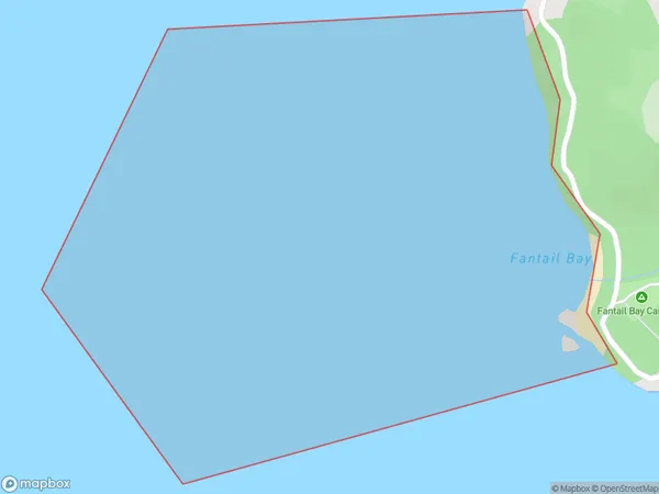
Fantail Bay Area (estimated)
0.9 square kilometersFantail Bay Population (estimated)
0 people live in Fantail Bay, Waikato, NZFantail Bay Suburb Area Map (Polygon)
Fantail Bay Introduction
Fantail Bay is a picturesque beach located in Waikato, New Zealand. It is known for its crystal-clear waters, stunning sunsets, and peaceful atmosphere. The bay is a popular spot for swimming, kayaking, and fishing, and it is surrounded by lush green hills and picturesque farmland. Visitors can also enjoy walking along the beachfront or exploring the nearby walking trails.Region
Suburb Name
Fantail BayOther Name(s)
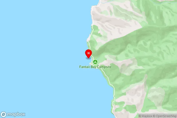
Hauraki GulfFantail Bay Area Map (Street)
Local Authority
Area outside Territorial AuthorityFull Address
Fantail Bay, Area outside Territorial Authority, New ZealandAddress Type
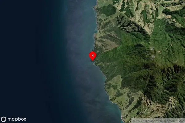
Coastal BayFantail Bay Suburb Map (Satellite)
Country
Main Region in AU
WaikatoFantail Bay Region Map

Coordinates
-36.524005,175.3267371 (latitude/longitude)Distances
The distance from Fantail Bay, , Area outside Territorial Authority to NZ Top 10 Cities