Fanny Bay Area, Fanny Bay Postcode & Map in Fanny Bay
Fanny Bay Area, Fanny Bay Postcode & Map in Fanny Bay, Southland District,
Fanny Bay, Southland District,
Fanny Bay Area (estimated)
2.4 square kilometersFanny Bay Population (estimated)
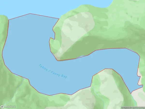
0 people live in Fanny Bay, Brighton, NZFanny Bay Suburb Area Map (Polygon)
Fanny Bay Introduction
Fanny Bay is a small settlement and beach located in Otago, New Zealand. It is known for its stunning natural beauty, including crystal-clear waters, golden sand beaches, and rugged cliffs. The area is popular with tourists and locals for swimming, surfing, and fishing, and it is also home to a variety of wildlife, including penguins and seals. Fanny Bay is a peaceful and picturesque place to relax and enjoy the natural surroundings.Region
Major City
Suburb Name
Fanny BayOther Name(s)
Tamatea / Dusky SoundFanny Bay Area Map (Street)
Local Authority
Southland DistrictFull Address
Fanny Bay, Southland District,Address Type
Coastal BayFanny Bay Suburb Map (Satellite)
Country
Main Region in AU
OtagoFanny Bay Region Map
Coordinates
0,0 (latitude/longitude)Distances
The distance from Fanny Bay, , Southland District to NZ Top 10 Cities