Edwards Bay Area, Edwards Bay Postcode(9023) & Map in Edwards Bay
Edwards Bay Area, Edwards Bay Postcode(9023) & Map in Edwards Bay, Dunedin City, New Zealand
Edwards Bay, Dunedin City, New Zealand
Edwards Bay Postcodes
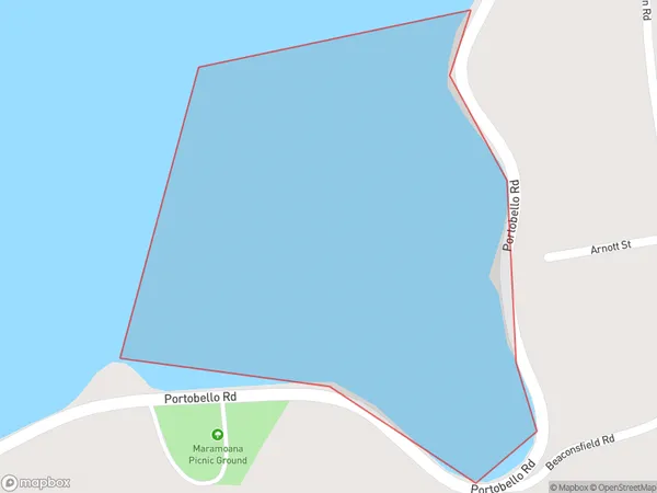
Edwards Bay Area (estimated)
0.1 square kilometersEdwards Bay Population (estimated)
0 people live in Edwards Bay, Dunedin, NZEdwards Bay Suburb Area Map (Polygon)
Edwards Bay Introduction
Edwards Bay is a small, shallow bay located in the southern part of New Zealand's Otago region. It is known for its clear waters and stunning coastal scenery, including the iconic Dune Forest. The bay is a popular spot for swimming, kayaking, and fishing, and is home to a small community of residents.Region
Major City
Suburb Name
Edwards BayOther Name(s)
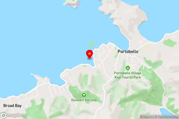
Otago HarbourEdwards Bay Area Map (Street)
Local Authority
Dunedin CityFull Address
Edwards Bay, Dunedin City, New ZealandAddress Type
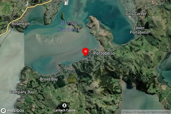
Coastal BayEdwards Bay Suburb Map (Satellite)
Country
Main Region in AU
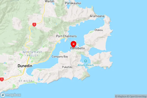
OtagoEdwards Bay Region Map
Coordinates
-45.841301,170.639858 (latitude/longitude)Distances
The distance from Edwards Bay, , Dunedin City to NZ Top 10 Cities