Duncan Bay Area, Duncan Bay Postcode(2025) & Map in Duncan Bay
Duncan Bay Area, Duncan Bay Postcode(2025) & Map in Duncan Bay, Auckland, New Zealand
Duncan Bay, Auckland, New Zealand
Duncan Bay Postcodes
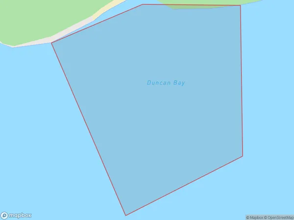
Duncan Bay Area (estimated)
0.1 square kilometersDuncan Bay Population (estimated)
0 people live in Duncan Bay, Waitākere Ranges, NZDuncan Bay Suburb Area Map (Polygon)
Duncan Bay Introduction
Duncan Bay is a small residential suburb in Auckland, New Zealand. It is located on the southern shores of the Waitemata Harbour and is known for its peaceful atmosphere, scenic views, and close proximity to the city. The suburb has a mix of residential properties, including apartments, houses, and townhouses, and is popular with families and young professionals. There are several parks and recreational facilities in Duncan Bay, including a beach, a golf course, and a community center. The area is well-connected to the rest of Auckland via public transportation, and it is only a short drive from the city center.Region
Major City
Suburb Name
Duncan BayOther Name(s)
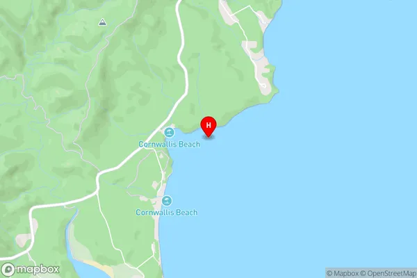
Manukau HarbourDuncan Bay Area Map (Street)
Local Authority
AucklandFull Address
Duncan Bay, Auckland, New ZealandAddress Type
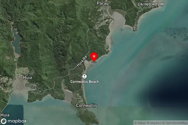
Coastal BayDuncan Bay Suburb Map (Satellite)
Country
Main Region in AU
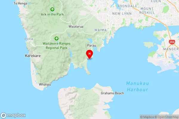
AucklandDuncan Bay Region Map
Coordinates
-36.9931981,174.6093294 (latitude/longitude)Distances
The distance from Duncan Bay, , Auckland to NZ Top 10 Cities