Deep Gully Bay Area, Deep Gully Bay Postcode(8972) & Map in Deep Gully Bay
Deep Gully Bay Area, Deep Gully Bay Postcode(8972) & Map in Deep Gully Bay, Christchurch City, New Zealand
Deep Gully Bay, Christchurch City, New Zealand
Deep Gully Bay Postcodes
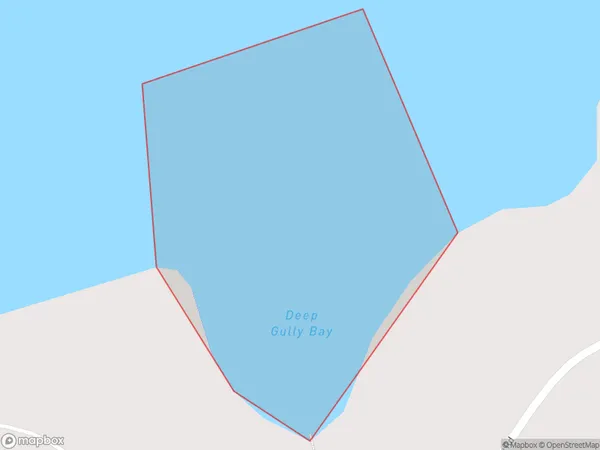
Deep Gully Bay Area (estimated)
0.1 square kilometersDeep Gully Bay Population (estimated)
0 people live in Deep Gully Bay, Banks Peninsula Community, NZDeep Gully Bay Suburb Area Map (Polygon)
Deep Gully Bay Introduction
Deep Gully Bay is a small, secluded beach located in the Canterbury region of New Zealand. It is known for its stunning natural beauty, including rugged cliffs, crystal-clear waters, and a variety of marine life. The bay is only accessible by a long, winding road, which adds to its sense of isolation and tranquility. Visitors can enjoy swimming, snorkeling, and hiking in the surrounding area, and there are also several camping grounds nearby.Region
Major City
Suburb Name
Deep Gully BayOther Name(s)
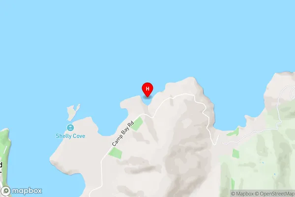
Lyttelton Harbour/Whakaraupo (Maori Name: Lyttelton Harbour/Whakaraupō)Deep Gully Bay Area Map (Street)
Local Authority
Christchurch CityFull Address
Deep Gully Bay, Christchurch City, New ZealandAddress Type
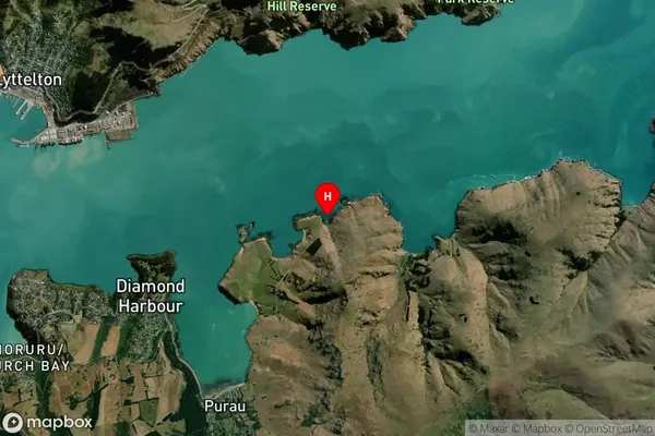
Coastal BayDeep Gully Bay Suburb Map (Satellite)
Country
Main Region in AU
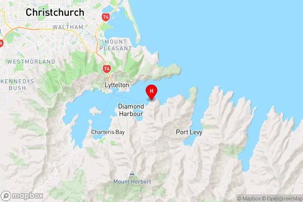
CanterburyDeep Gully Bay Region Map
Coordinates
-43.6182996,172.767768 (latitude/longitude)Distances
The distance from Deep Gully Bay, , Christchurch City to NZ Top 10 Cities