Deep Bight Area, Deep Bight Postcode & Map in Deep Bight
Deep Bight Area, Deep Bight Postcode & Map in Deep Bight, Marlborough District, New Zealand
Deep Bight, Marlborough District, New Zealand
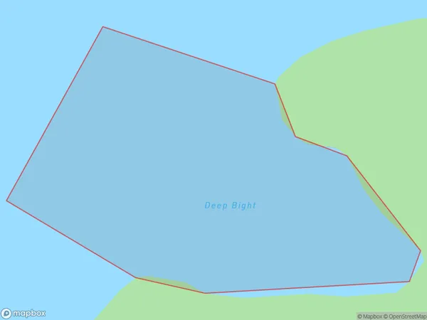
Deep Bight Area (estimated)
0.2 square kilometersDeep Bight Population (estimated)
0 people live in Deep Bight, Marlborough, NZDeep Bight Suburb Area Map (Polygon)
Deep Bight Introduction
Deep Bight is a small settlement in Marlborough, New Zealand. It is located on the southern coast of the South Island, about 12 kilometers south of Blenheim. The settlement is known for its beautiful beaches, clear waters, and stunning coastal scenery. It is a popular destination for tourists and outdoor enthusiasts, with many opportunities for swimming, fishing, hiking, and kayaking. The area also has a rich cultural heritage, with several historic buildings and sites located nearby.Region
Suburb Name
Deep BightOther Name(s)
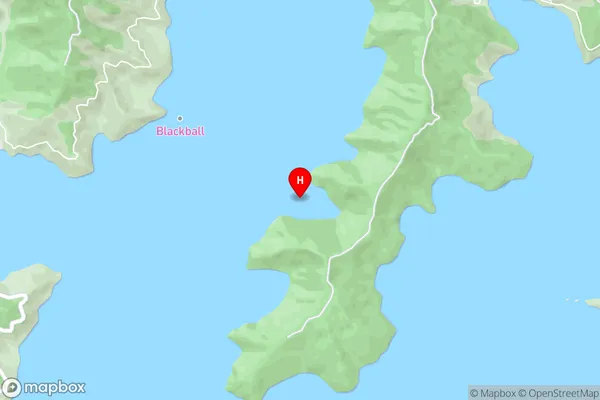
Port Underwood, Cook StraitDeep Bight Area Map (Street)
Local Authority
Marlborough DistrictFull Address
Deep Bight, Marlborough District, New ZealandAddress Type
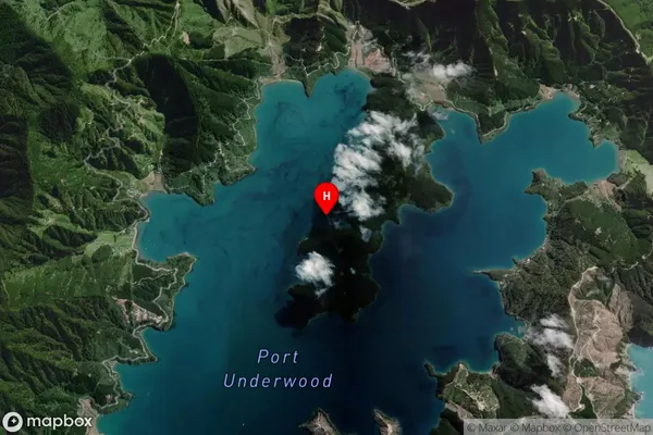
Coastal BayDeep Bight Suburb Map (Satellite)
Country
Main Region in AU
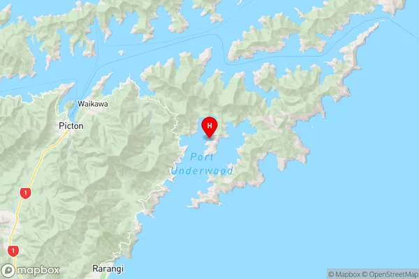
MarlboroughDeep Bight Region Map
Coordinates
-41.3010142,174.1430019 (latitude/longitude)Distances
The distance from Deep Bight, , Marlborough District to NZ Top 10 Cities