Decanter Bay Area, Decanter Bay Postcode(8011) & Map in Decanter Bay
Decanter Bay Area, Decanter Bay Postcode(8011) & Map in Decanter Bay, Christchurch City, New Zealand
Decanter Bay, Christchurch City, New Zealand
Decanter Bay Postcodes
Decanter Bay Area (estimated)
1.1 square kilometersDecanter Bay Population (estimated)
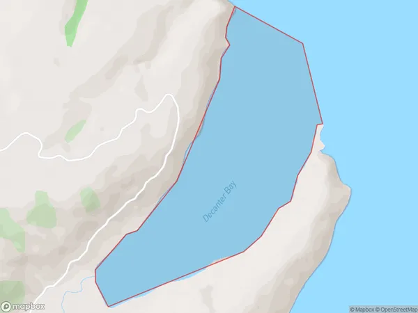
0 people live in Decanter Bay, Banks Peninsula Community, NZDecanter Bay Suburb Area Map (Polygon)
Decanter Bay Introduction
Decanter Bay is a picturesque beach located in the Canterbury region of New Zealand. It is known for its clear waters, golden sand, and stunning coastal views. The bay is a popular spot for swimming, surfing, and fishing, and it is surrounded by lush green hills and farmland. The area also has a rich history, with several historic buildings and sites located nearby.Region
Major City
Suburb Name
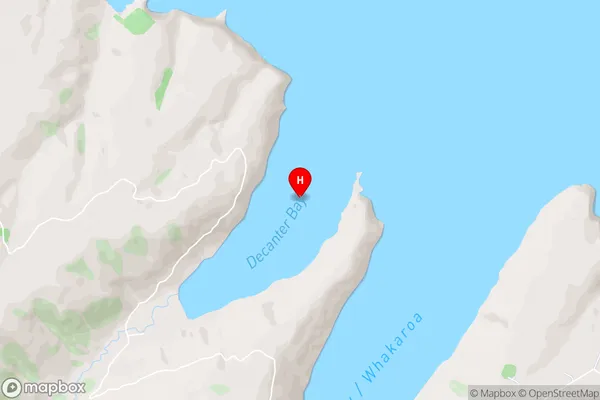
Decanter BayDecanter Bay Area Map (Street)
Local Authority
Christchurch CityFull Address
Decanter Bay, Christchurch City, New ZealandAddress Type
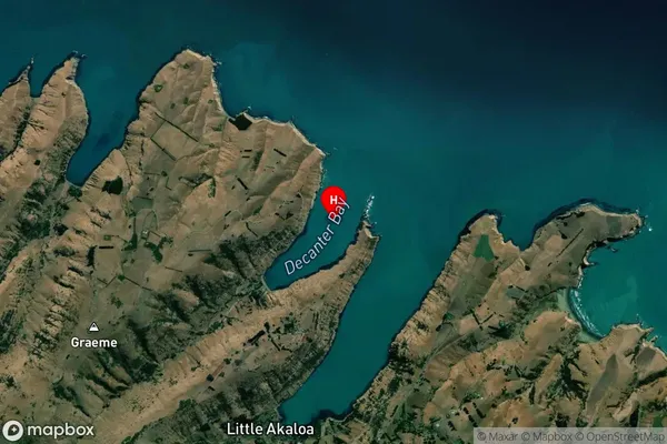
Coastal BayDecanter Bay Suburb Map (Satellite)
Country
Main Region in AU
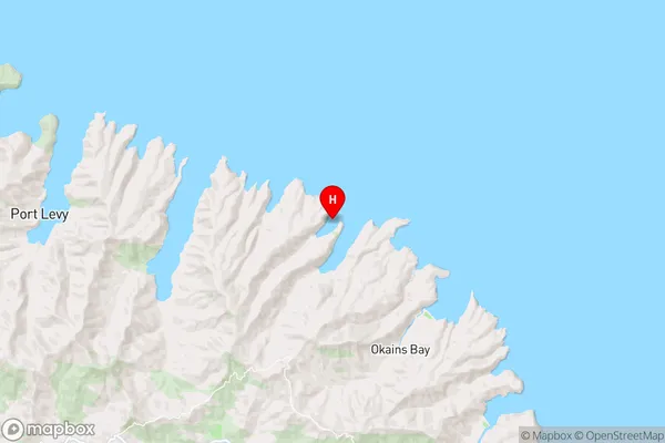
CanterburyDecanter Bay Region Map
Coordinates
-43.65228675,173.000433359423 (latitude/longitude)Distances
The distance from Decanter Bay, , Christchurch City to NZ Top 10 Cities