Dairy Bay Area, Dairy Bay Postcode(0983) & Map in Dairy Bay
Dairy Bay Area, Dairy Bay Postcode(0983) & Map in Dairy Bay, Auckland, New Zealand
Dairy Bay, Auckland, New Zealand
Dairy Bay Postcodes
Dairy Bay Area (estimated)
0.0 square kilometersDairy Bay Population (estimated)
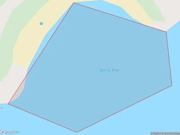
0 people live in Dairy Bay, Rodney, NZDairy Bay Suburb Area Map (Polygon)
Dairy Bay Introduction
Dairy Bay is a suburban beach located in Auckland, New Zealand. It is known for its peaceful atmosphere, stunning coastal views, and popular with families and outdoor enthusiasts. The beach has a wide range of recreational activities, including swimming, surfing, and fishing, and is also home to a variety of wildlife, including seals and penguins.Region
Major City
Suburb Name
Dairy BayOther Name(s)
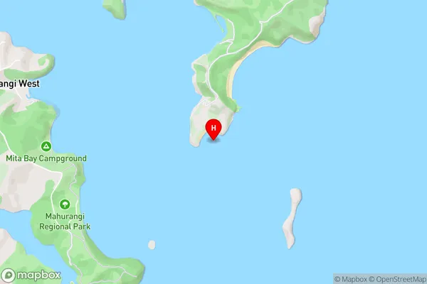
Hauraki GulfDairy Bay Area Map (Street)
Local Authority
AucklandFull Address
Dairy Bay, Auckland, New ZealandAddress Type
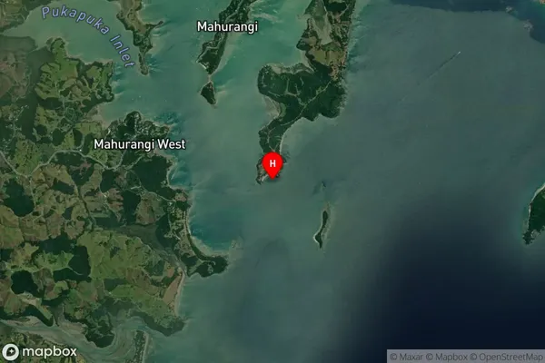
Coastal BayDairy Bay Suburb Map (Satellite)
Country
Main Region in AU
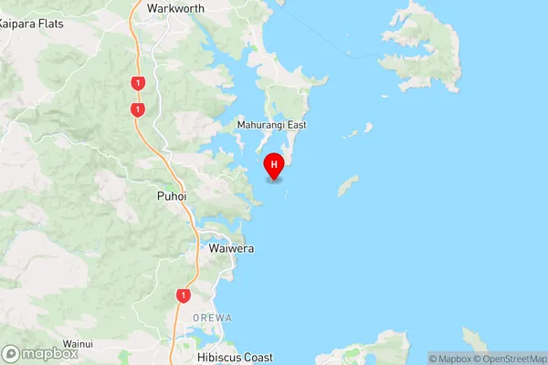
AucklandDairy Bay Region Map
Coordinates
-36.5038519,174.7380332 (latitude/longitude)Distances
The distance from Dairy Bay, , Auckland to NZ Top 10 Cities