Cutters Bay Area, Cutters Bay Postcode & Map in Cutters Bay
Cutters Bay Area, Cutters Bay Postcode & Map in Cutters Bay, Marlborough District, New Zealand
Cutters Bay, Marlborough District, New Zealand
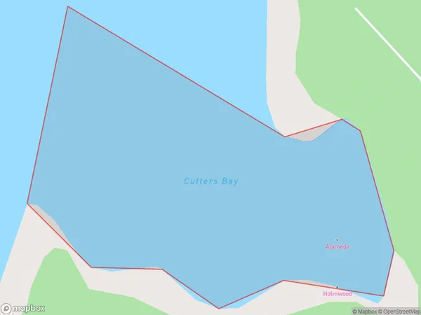
Cutters Bay Area (estimated)
0.3 square kilometersCutters Bay Population (estimated)
0 people live in Cutters Bay, Marlborough, NZCutters Bay Suburb Area Map (Polygon)
Cutters Bay Introduction
Cutters Bay is a small beach located in Marlborough, New Zealand. It is known for its clear waters, stunning sunsets, and peaceful atmosphere. The bay is a popular spot for swimming, sunbathing, and fishing, and it is surrounded by picturesque vineyards and olive groves. The area is also home to a variety of wildlife, including seals, dolphins, and penguins.Region
Suburb Name
Cutters BayOther Name(s)
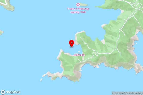
Port Underwood, Cook StraitCutters Bay Area Map (Street)
Local Authority
Marlborough DistrictFull Address
Cutters Bay, Marlborough District, New ZealandAddress Type
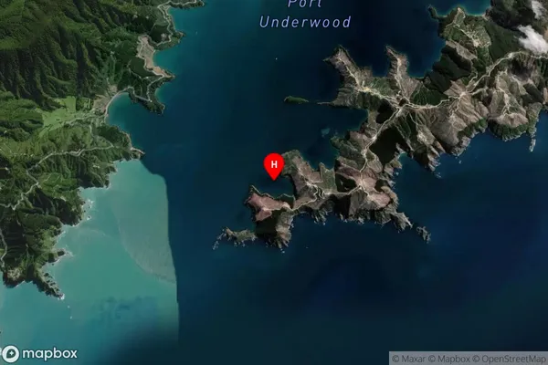
Coastal BayCutters Bay Suburb Map (Satellite)
Country
Main Region in AU
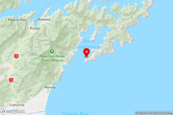
MarlboroughCutters Bay Region Map
Coordinates
-41.3430649,174.1294913 (latitude/longitude)Distances
The distance from Cutters Bay, , Marlborough District to NZ Top 10 Cities