Crowles Bay Area, Crowles Bay Postcode & Map in Crowles Bay
Crowles Bay Area, Crowles Bay Postcode & Map in Crowles Bay, Far North District, New Zealand
Crowles Bay, Far North District, New Zealand
Crowles Bay Area (estimated)
0.5 square kilometersCrowles Bay Population (estimated)
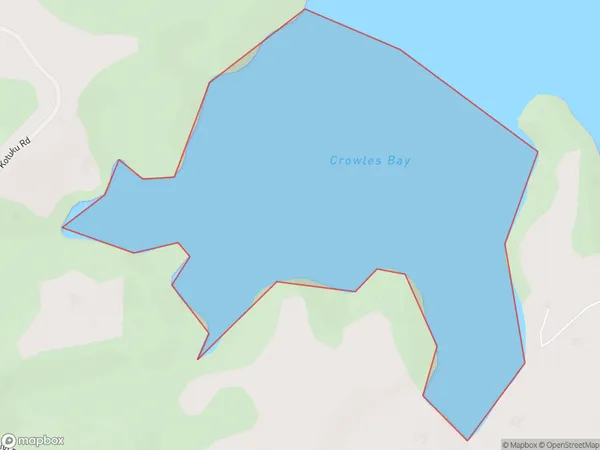
0 people live in Crowles Bay, Bay of Islands-Whangaroa Community, NZCrowles Bay Suburb Area Map (Polygon)
Crowles Bay Introduction
Crowles Bay is a small bay located in the Northland region of New Zealand. It is situated at the mouth of the Hokianga Harbour and is surrounded by picturesque coastal scenery. The bay is popular with tourists and has a range of accommodation options, including hotels and holiday homes. There are also several restaurants and cafes in the area, serving fresh seafood and local cuisine. The bay is known for its stunning sunsets and is a great place to relax and enjoy the natural beauty of the region.Region
Major City
Suburb Name
Crowles BayOther Name(s)
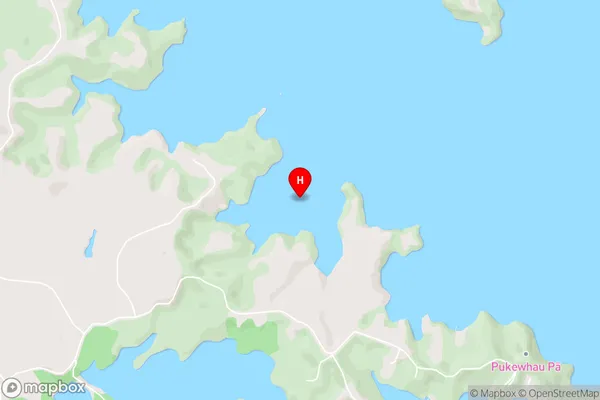
Te Puna Inlet, Bay Of IslandsCrowles Bay Area Map (Street)
Local Authority
Far North DistrictFull Address
Crowles Bay, Far North District, New ZealandAddress Type
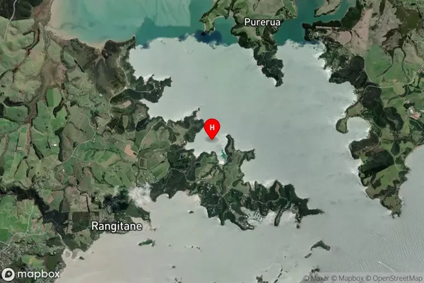
Coastal BayCrowles Bay Suburb Map (Satellite)
Country
Main Region in AU
NorthlandCrowles Bay Region Map

Coordinates
-35.1788262,174.0229303 (latitude/longitude)Distances
The distance from Crowles Bay, , Far North District to NZ Top 10 Cities