Kenepuru Head Area, Kenepuru Head Postcode & Map in Kenepuru Head
Kenepuru Head Area, Kenepuru Head Postcode & Map in Kenepuru Head, Marlborough District, New Zealand
Kenepuru Head, Marlborough District, New Zealand
Kenepuru Head Area (estimated)
41.9 square kilometersKenepuru Head Population (estimated)
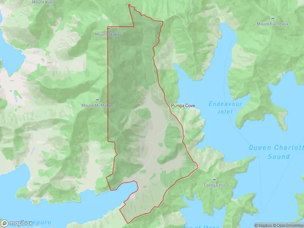
6 people live in Kenepuru Head, Marlborough, NZKenepuru Head Suburb Area Map (Polygon)
Kenepuru Head Introduction
Kenepuru Head is a prominent headland located at the northern end of the Marlborough Sounds in New Zealand. It is known for its stunning coastal scenery, including rugged cliffs, lush forests, and crystal-clear waters. The headland offers a variety of outdoor activities such as hiking, kayaking, and wildlife watching, and is a popular destination for tourists. It is also home to a significant population of New Zealand fur seals, which can be observed from the nearby seal colony.Region
0Suburb Name
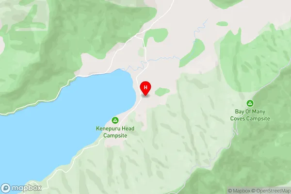
Kenepuru HeadKenepuru Head Area Map (Street)
Local Authority
Marlborough DistrictFull Address
Kenepuru Head, Marlborough District, New ZealandAddress Type
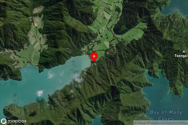
Locality in Major Locality Marlborough SoundsKenepuru Head Suburb Map (Satellite)
Country
Main Region in AU
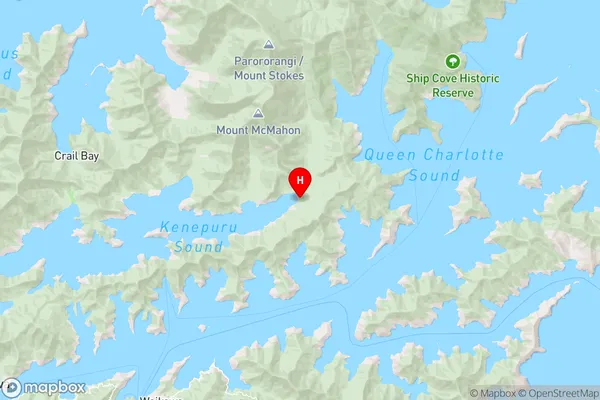
MarlboroughKenepuru Head Region Map
Coordinates
-41.1705612,174.1234517 (latitude/longitude)Distances
The distance from Kenepuru Head, Marlborough Sounds, Marlborough District to NZ Top 10 Cities