Cooks Bay Area, Cooks Bay Postcode(3510) & Map in Cooks Bay
Cooks Bay Area, Cooks Bay Postcode(3510) & Map in Cooks Bay, Thames-Coromandel District, New Zealand
Cooks Bay, Thames-Coromandel District, New Zealand
Cooks Bay Postcodes
Cooks Bay Area (estimated)
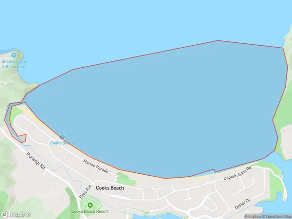
2.8 square kilometersCooks Bay Population (estimated)
0 people live in Cooks Bay, Waikato, NZCooks Bay Suburb Area Map (Polygon)
Cooks Bay Introduction
Cooks Bay is a small bay and beach located in the Waikato region of New Zealand. It is known for its clear waters, sandy beaches, and stunning coastal views. The bay is a popular spot for swimming, kayaking, and fishing, and it is surrounded by native bush and farmland. The area has a rich history, with evidence of early Māori settlement and European exploration. There are several historic buildings and landmarks in the area, including a former lighthouse and a military fort.Region
Suburb Name
Cooks BayOther Name(s)
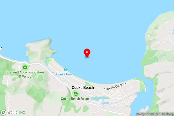
Mercury BayCooks Bay Area Map (Street)
Local Authority
Thames-Coromandel DistrictFull Address
Cooks Bay, Thames-Coromandel District, New ZealandAddress Type
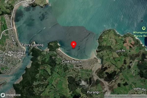
Coastal BayCooks Bay Suburb Map (Satellite)
Country
Main Region in AU
WaikatoCooks Bay Region Map

Coordinates
-36.83125,175.742306 (latitude/longitude)Distances
The distance from Cooks Bay, , Thames-Coromandel District to NZ Top 10 Cities