Coates Bay Area, Coates Bay Postcode & Map in Coates Bay
Coates Bay Area, Coates Bay Postcode & Map in Coates Bay, Area outside Territorial Authority, New Zealand
Coates Bay, Area outside Territorial Authority, New Zealand
Coates Bay Area (estimated)
1.4 square kilometersCoates Bay Population (estimated)
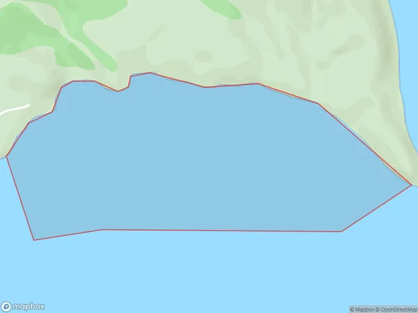
0 people live in Coates Bay, Northland, NZCoates Bay Suburb Area Map (Polygon)
Coates Bay Introduction
Coates Bay is a popular beach in Northland, New Zealand, known for its crystal-clear waters, white sand, and stunning coastal views. It is a popular spot for swimming, surfing, and fishing and is surrounded by lush tropical vegetation. The bay is also home to a small community of residents and is located about 45 minutes drive from Dargaville.Region
Suburb Name
Coates BayOther Name(s)
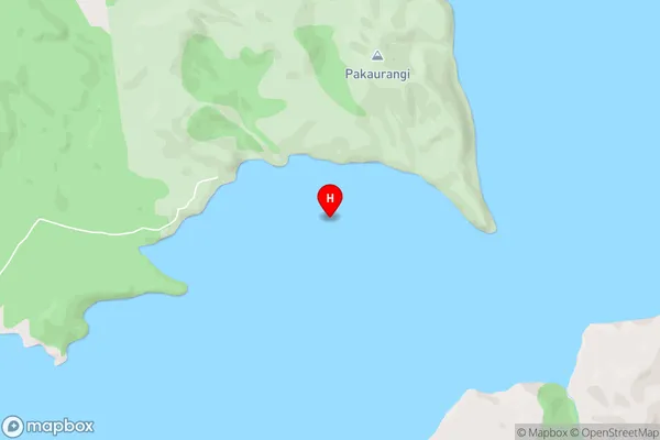
Kaipara HarbourCoates Bay Area Map (Street)
Local Authority
Area outside Territorial AuthorityFull Address
Coates Bay, Area outside Territorial Authority, New ZealandAddress Type
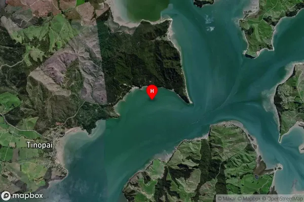
Coastal BayCoates Bay Suburb Map (Satellite)
Country
Main Region in AU
NorthlandCoates Bay Region Map

Coordinates
-36.2376504,174.2803195 (latitude/longitude)Distances
The distance from Coates Bay, , Area outside Territorial Authority to NZ Top 10 Cities