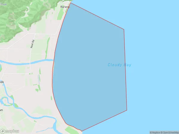
Te Koko-o-Kupe / Cloudy Bay Area, Te Koko-o-Kupe / Cloudy Bay Postcode & Map in Te Koko-o-Kupe / Cloudy Bay
Te Koko-o-Kupe / Cloudy Bay Area, Te Koko-o-Kupe / Cloudy Bay Postcode & Map in Te Koko-o-Kupe / Cloudy Bay, Area outside Territorial Authority,
Te Koko-o-Kupe / Cloudy Bay, Area outside Territorial Authority,
Te Koko-o-Kupe / Cloudy Bay Area (estimated)
72.7 square kilometersTe Koko-o-Kupe / Cloudy Bay Population (estimated)
0 people live in Te Koko-o-Kupe / Cloudy Bay, Brighton, NZTe Koko-o-Kupe / Cloudy Bay Suburb Area Map (Polygon)

Te Koko-o-Kupe / Cloudy Bay Introduction
Te Koko-o-Kupe / Cloudy Bay is a renowned wine region located in Central Otago, New Zealand. It is known for its cool climate, fertile soils, and unique grape varieties, which produce award-winning wines such as Sauvignon Blanc and Pinot Noir. The region has a picturesque landscape, with rolling hills, picturesque vineyards, and stunning views of the Southern Alps. Visitors can explore the region's many cellar doors, taste the wines, and enjoy the scenic surroundings.Region
Major City
Suburb Name
Te Koko-o-Kupe / Cloudy BayOther Name(s)
Cook StraitTe Koko-o-Kupe / Cloudy Bay Area Map (Street)
Local Authority
Area outside Territorial AuthorityFull Address
Te Koko-o-Kupe / Cloudy Bay, Area outside Territorial Authority,Address Type
Coastal BayTe Koko-o-Kupe / Cloudy Bay Suburb Map (Satellite)
Country
Main Region in AU
OtagoTe Koko-o-Kupe / Cloudy Bay Region Map
Coordinates
0,0 (latitude/longitude)Distances
The distance from Te Koko-o-Kupe / Cloudy Bay, , Area outside Territorial Authority to NZ Top 10 Cities