Clifford Bay Area, Clifford Bay Postcode & Map in Clifford Bay
Clifford Bay Area, Clifford Bay Postcode & Map in Clifford Bay, Area outside Territorial Authority, New Zealand
Clifford Bay, Area outside Territorial Authority, New Zealand
Clifford Bay Area (estimated)
148.7 square kilometersClifford Bay Population (estimated)
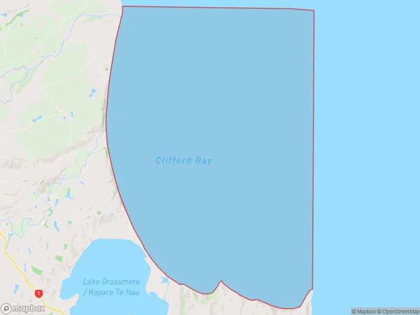
0 people live in Clifford Bay, Marlborough, NZClifford Bay Suburb Area Map (Polygon)
Clifford Bay Introduction
Clifford Bay is a popular beach in Marlborough, New Zealand, known for its clear waters, white sand, and stunning coastal views. It is a popular spot for swimming, sunbathing, and water sports such as kayaking and paddleboarding. The bay is also home to a small community of residents and a popular campground.Region
Suburb Name
Clifford BayOther Name(s)
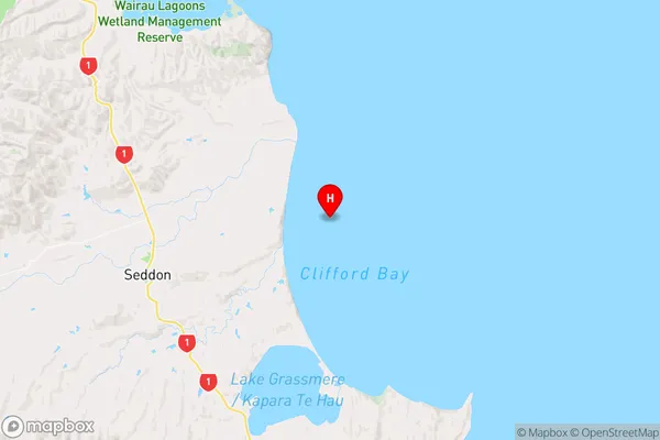
Cook StraitClifford Bay Area Map (Street)
Local Authority
Area outside Territorial AuthorityFull Address
Clifford Bay, Area outside Territorial Authority, New ZealandAddress Type
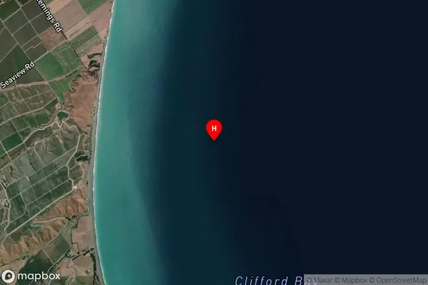
Coastal BayClifford Bay Suburb Map (Satellite)
Country
Main Region in AU
MarlboroughClifford Bay Region Map
Coordinates
-41.6456588,174.187234236446 (latitude/longitude)Distances
The distance from Clifford Bay, , Area outside Territorial Authority to NZ Top 10 Cities