Clematis Bay Area, Clematis Bay Postcode(7845) & Map in Clematis Bay
Clematis Bay Area, Clematis Bay Postcode(7845) & Map in Clematis Bay, Grey District, New Zealand
Clematis Bay, Grey District, New Zealand
Clematis Bay Postcodes
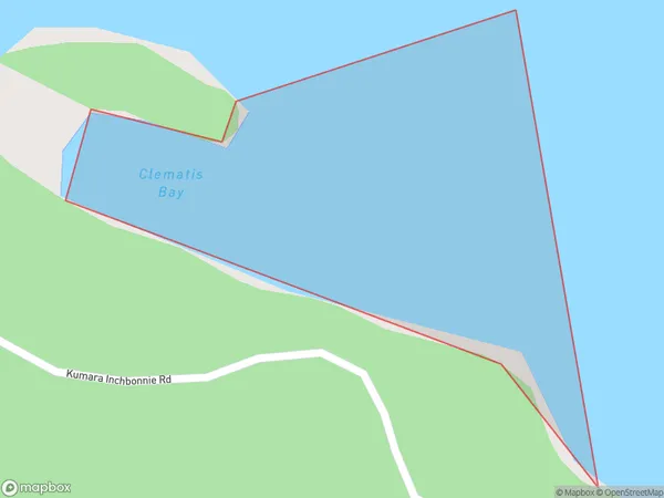
Clematis Bay Area (estimated)
0.1 square kilometersClematis Bay Population (estimated)
0 people live in Clematis Bay, West Coast, NZClematis Bay Suburb Area Map (Polygon)
Clematis Bay Introduction
Clematis Bay is a small, peaceful bay on the West Coast of New Zealand's South Island. It is surrounded by stunning natural scenery, including mountains, forests, and rivers, and is a popular spot for fishing, hiking, and kayaking. The bay is also home to a small community of people who live in houses built on the cliffs overlooking the bay.Region
Suburb Name
Clematis BayOther Name(s)
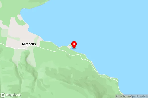
Lake Brunner (Moana)Clematis Bay Area Map (Street)
Local Authority
Grey DistrictFull Address
Clematis Bay, Grey District, New ZealandAddress Type
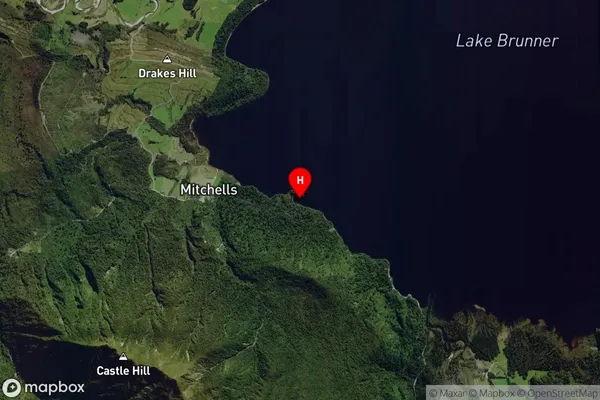
Inland BayClematis Bay Suburb Map (Satellite)
Country
Main Region in AU
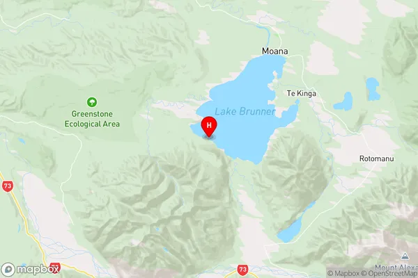
West CoastClematis Bay Region Map
Coordinates
-42.6389279,171.4127958 (latitude/longitude)Distances
The distance from Clematis Bay, , Grey District to NZ Top 10 Cities