Clarks Bay Area, Clarks Bay Postcode & Map in Clarks Bay
Clarks Bay Area, Clarks Bay Postcode & Map in Clarks Bay, Area outside Territorial Authority, New Zealand
Clarks Bay, Area outside Territorial Authority, New Zealand
Clarks Bay Area (estimated)
0.6 square kilometersClarks Bay Population (estimated)
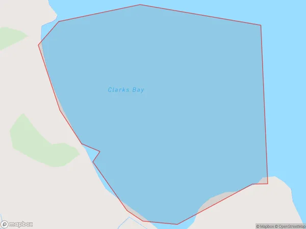
0 people live in Clarks Bay, Northland, NZClarks Bay Suburb Area Map (Polygon)
Clarks Bay Introduction
Clarks Bay is a small, picturesque bay located in the Northland region of New Zealand. It is known for its clear waters, sandy beaches, and stunning coastal scenery. The bay is a popular spot for swimming, fishing, and kayaking, and is home to a variety of marine life, including dolphins, whales, and seals. The surrounding area is also home to a number of historic sites, including a former kauri logging town and a Maori pa site.Region
Suburb Name
Clarks BayOther Name(s)
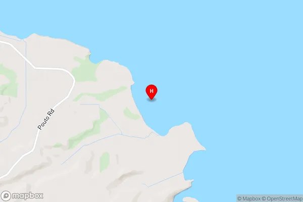
Kaipara HarbourClarks Bay Area Map (Street)
Local Authority
Area outside Territorial AuthorityFull Address
Clarks Bay, Area outside Territorial Authority, New ZealandAddress Type
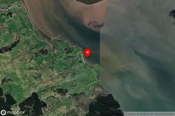
Coastal BayClarks Bay Suburb Map (Satellite)
Country
Main Region in AU
NorthlandClarks Bay Region Map

Coordinates
-36.199472,174.064528 (latitude/longitude)Distances
The distance from Clarks Bay, , Area outside Territorial Authority to NZ Top 10 Cities