Circle Cove Area, Circle Cove Postcode(7969) & Map in Circle Cove
Circle Cove Area, Circle Cove Postcode(7969) & Map in Circle Cove, Southland District, New Zealand
Circle Cove, Southland District, New Zealand
Circle Cove Postcodes
Circle Cove Area (estimated)
-1.2 square kilometersCircle Cove Population (estimated)
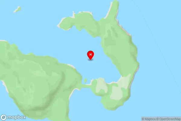
0 people live in Circle Cove, Fiordland Community, NZCircle Cove Suburb Area Map (Polygon)
Not available for nowCircle Cove Introduction
Circle Cove is a small beach located in Southland, New Zealand. It is known for its clear waters and stunning coastal views. The beach is a popular spot for swimming, kayaking, and fishing, and it is surrounded by native forest and picturesque countryside.Region
Major City
Suburb Name
Circle CoveOther Name(s)
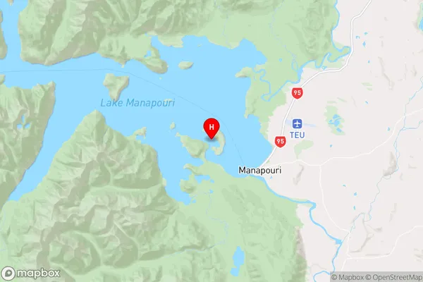
Lake ManapouriCircle Cove Area Map (Street)
Local Authority
Southland DistrictFull Address
Circle Cove, Southland District, New ZealandAddress Type
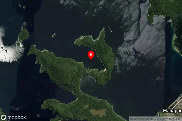
Inland BayCircle Cove Suburb Map (Satellite)
Country
Main Region in AU
SouthlandCircle Cove Region Map
Coordinates
-45.5452376,167.5661692 (latitude/longitude)Distances
The distance from Circle Cove, , Southland District to NZ Top 10 Cities