Church Bay Area, Church Bay Postcode(0153) & Map in Church Bay
Church Bay Area, Church Bay Postcode(0153) & Map in Church Bay, Whangarei District, New Zealand
Church Bay, Whangarei District, New Zealand
Church Bay Postcodes
Church Bay Area (estimated)
0.0 square kilometersChurch Bay Population (estimated)
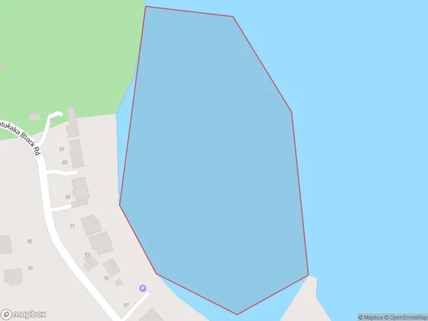
0 people live in Church Bay, Northland, NZChurch Bay Suburb Area Map (Polygon)
Church Bay Introduction
Church Bay is a picturesque bay located in the Bay of Islands, Northland, New Zealand. It is surrounded by lush green hills and is a popular spot for swimming, snorkeling, and kayaking. The bay is also home to a small community of people who live in quaint houses and enjoy the peaceful and relaxed lifestyle of the area.Region
Suburb Name
Church BayOther Name(s)
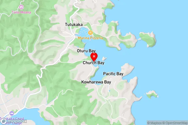
Tutukaka HarbourChurch Bay Area Map (Street)
Local Authority
Whangarei DistrictFull Address
Church Bay, Whangarei District, New ZealandAddress Type
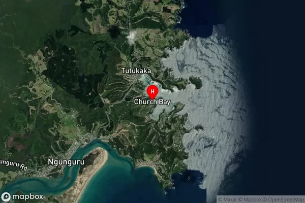
Coastal BayChurch Bay Suburb Map (Satellite)
Country
Main Region in AU
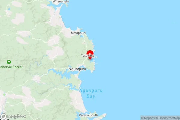
NorthlandChurch Bay Region Map
Coordinates
-35.616801,174.529967 (latitude/longitude)Distances
The distance from Church Bay, , Whangarei District to NZ Top 10 Cities