Childrens Bay Area, Childrens Bay Postcode(7520) & Map in Childrens Bay
Childrens Bay Area, Childrens Bay Postcode(7520) & Map in Childrens Bay, Christchurch City, New Zealand
Childrens Bay, Christchurch City, New Zealand
Childrens Bay Postcodes
Childrens Bay Area (estimated)
0.5 square kilometersChildrens Bay Population (estimated)
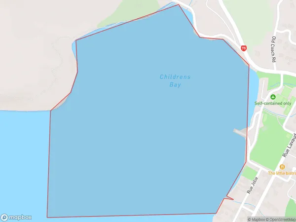
0 people live in Childrens Bay, Banks Peninsula Community, NZChildrens Bay Suburb Area Map (Polygon)
Childrens Bay Introduction
Childrens Bay is a small, peaceful beach located in the Canterbury region of New Zealand. It is known for its clear waters, sandy shores, and stunning coastal views. The beach is popular with families and is a great spot for swimming, sunbathing, and exploring the nearby coastal walks. It is also a popular spot for birdwatching, as many species of birds can be found in the area.Region
Major City
Suburb Name
Childrens BayOther Name(s)
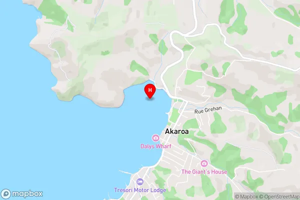
Akaroa HarbourChildrens Bay Area Map (Street)
Local Authority
Christchurch CityFull Address
Childrens Bay, Christchurch City, New ZealandAddress Type
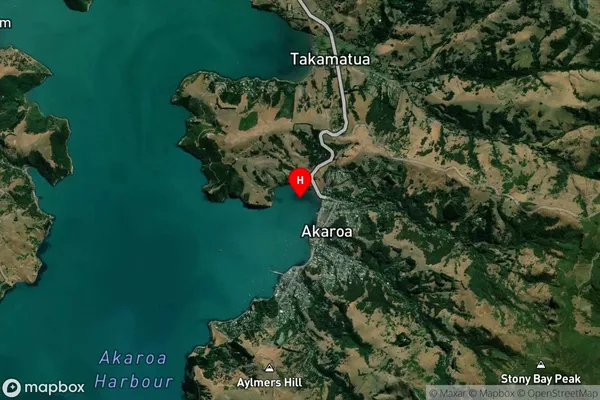
Coastal BayChildrens Bay Suburb Map (Satellite)
Country
Main Region in AU
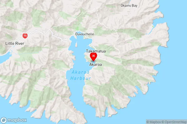
CanterburyChildrens Bay Region Map
Coordinates
-43.8000617,172.9642544 (latitude/longitude)Distances
The distance from Childrens Bay, , Christchurch City to NZ Top 10 Cities