Kotukutuku Bay Area, Kotukutuku Bay Postcode & Map in Kotukutuku Bay
Kotukutuku Bay Area, Kotukutuku Bay Postcode & Map in Kotukutuku Bay, Taupo District,
Kotukutuku Bay, Taupo District,
Kotukutuku Bay Area (estimated)
1.3 square kilometersKotukutuku Bay Population (estimated)
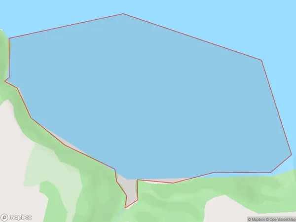
0 people live in Kotukutuku Bay, Waikato, NZKotukutuku Bay Suburb Area Map (Polygon)
Kotukutuku Bay Introduction
Kotukutuku Bay is a small, sheltered bay located in the Waikato region of New Zealand. It is known for its peaceful atmosphere, stunning natural beauty, and diverse marine life. The bay is a popular spot for swimming, kayaking, and fishing, and is home to a small community of residents. The bay is also home to a significant population of New Zealand fur seals, which can be seen basking in the sun on the rocks or swimming in the bay.Region
Suburb Name
Kotukutuku Bay (Maori Name: Kōtukutuku Bay)Other Name(s)
Western Bay, Lake Taupo (Taupomoana)Kotukutuku Bay Area Map (Street)
Local Authority
Taupo DistrictFull Address
Kotukutuku Bay, Taupo District,Address Type
Inland BayKotukutuku Bay Suburb Map (Satellite)
Country
Main Region in AU
WaikatoKotukutuku Bay Region Map
Coordinates
0,0 (latitude/longitude)Distances
The distance from Kotukutuku Bay, , Taupo District to NZ Top 10 Cities