Chelsea Bay Area, Chelsea Bay Postcode(0622) & Map in Chelsea Bay
Chelsea Bay Area, Chelsea Bay Postcode(0622) & Map in Chelsea Bay, Auckland, New Zealand
Chelsea Bay, Auckland, New Zealand
Chelsea Bay Postcodes
Chelsea Bay Area (estimated)
0.4 square kilometersChelsea Bay Population (estimated)
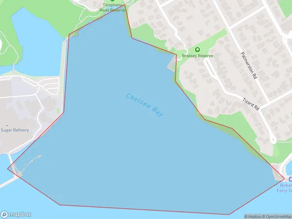
0 people live in Chelsea Bay, Kaipātiki, NZChelsea Bay Suburb Area Map (Polygon)
Chelsea Bay Introduction
Chelsea Bay is a popular beach in Auckland, New Zealand. It is known for its white sand, clear waters, and stunning views of the Auckland skyline. The beach is a popular spot for swimming, sunbathing, and water sports such as surfing and paddleboarding. There are also several restaurants and cafes nearby, making it a convenient place to spend a day or evening.Region
Major City
Suburb Name
Chelsea BayOther Name(s)
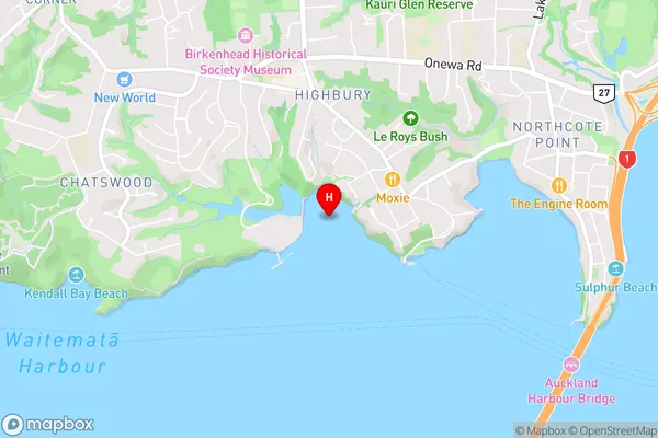
Waitemata Harbour, Hauraki Gulf (Maori Name: Waitematā Harbour, Hauraki Gulf)Chelsea Bay Area Map (Street)
Local Authority
AucklandFull Address
Chelsea Bay, Auckland, New ZealandAddress Type
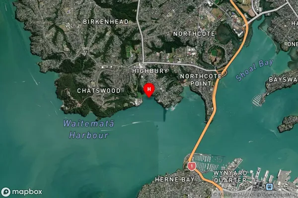
Coastal BayChelsea Bay Suburb Map (Satellite)
Country
Main Region in AU
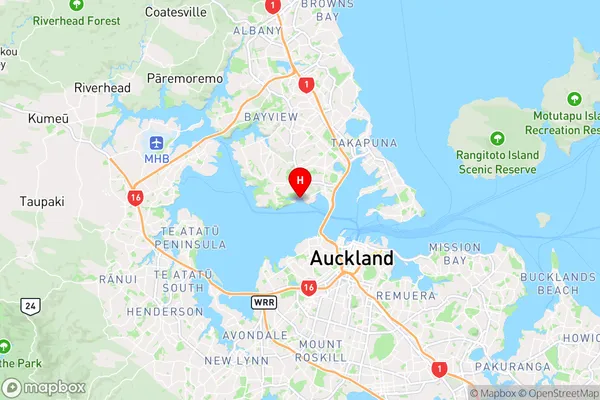
AucklandChelsea Bay Region Map
Coordinates
-36.8201453,174.727548461276 (latitude/longitude)Distances
The distance from Chelsea Bay, , Auckland to NZ Top 10 Cities