Catseye Bay Area, Catseye Bay Postcode & Map in Catseye Bay
Catseye Bay Area, Catseye Bay Postcode & Map in Catseye Bay, Area outside Territorial Authority, New Zealand
Catseye Bay, Area outside Territorial Authority, New Zealand
Catseye Bay Area (estimated)
0.8 square kilometersCatseye Bay Population (estimated)
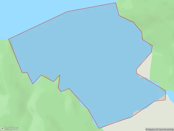
0 people live in Catseye Bay, Southland, NZCatseye Bay Suburb Area Map (Polygon)
Catseye Bay Introduction
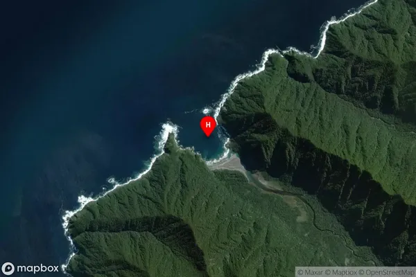
Catseye Bay is a small, secluded beach located in Fiordland National Park in Southland, New Zealand. It is known for its stunning turquoise waters, surrounded by rugged mountain terrain and dense forest. The bay is accessible only by a short, steep hike or boat ride and is a popular spot for hiking, camping, and fishing.Region
Suburb Name
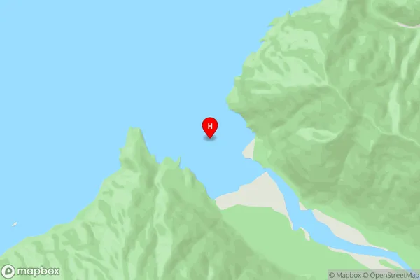
Catseye BayCatseye Bay Area Map (Street)
Local Authority
Area outside Territorial AuthorityFull Address
Catseye Bay, Area outside Territorial Authority, New ZealandAddress Type
Coastal BayCatseye Bay Suburb Map (Satellite)
Country
Main Region in AU
SouthlandCatseye Bay Region Map

Coordinates
-44.8108577,167.3902009 (latitude/longitude)Distances
The distance from Catseye Bay, , Area outside Territorial Authority to NZ Top 10 Cities