Castor Bay Area, Castor Bay Postcode(0620) & Map in Castor Bay
Castor Bay Area, Castor Bay Postcode(0620) & Map in Castor Bay, Auckland, New Zealand
Castor Bay, Auckland, New Zealand
Castor Bay Postcodes
Castor Bay Area (estimated)
0.8 square kilometersCastor Bay Population (estimated)
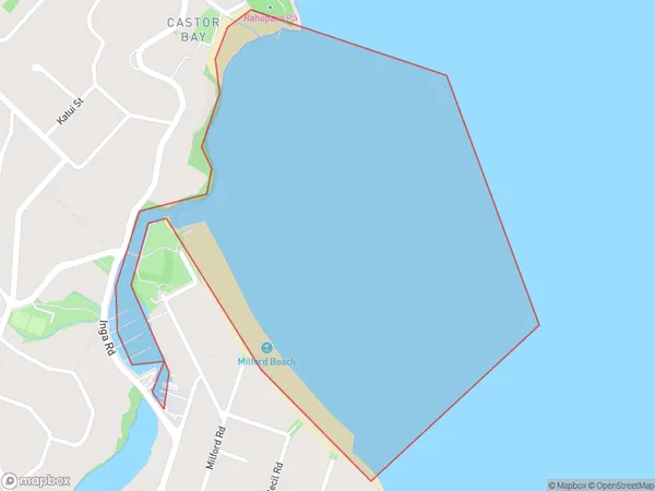
0 people live in Castor Bay, Devonport-Takapuna, NZCastor Bay Suburb Area Map (Polygon)
Castor Bay Introduction
Castor Bay is a suburb of Auckland, New Zealand. It is located on the Hibiscus Coast, and is known for its beautiful beaches, lush gardens, and peaceful atmosphere. The suburb has a population of around 12,000 people and is located approximately 20 kilometers from Auckland City. It is a popular destination for tourists and locals alike, with many attractions and activities to enjoy.Region
Major City
Suburb Name
Castor BayOther Name(s)
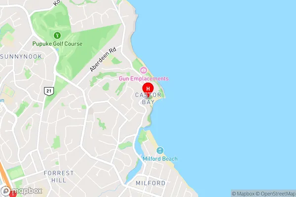
Hauraki GulfCastor Bay Area Map (Street)
Local Authority
AucklandFull Address
Castor Bay, Auckland, New ZealandAddress Type
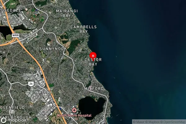
Coastal BayCastor Bay Suburb Map (Satellite)
Country
Main Region in AU
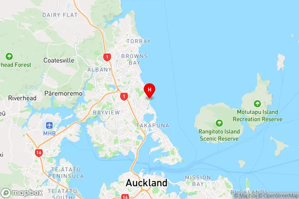
AucklandCastor Bay Region Map
Coordinates
-36.7600215,174.767214 (latitude/longitude)Distances
The distance from Castor Bay, , Auckland to NZ Top 10 Cities