Canoe Cove Area, Canoe Cove Postcode(7811) & Map in Canoe Cove
Canoe Cove Area, Canoe Cove Postcode(7811) & Map in Canoe Cove, Westland District, New Zealand
Canoe Cove, Westland District, New Zealand
Canoe Cove Postcodes
Canoe Cove Area (estimated)
0.1 square kilometersCanoe Cove Population (estimated)
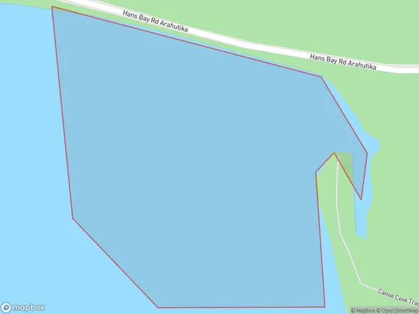
0 people live in Canoe Cove, West Coast, NZCanoe Cove Suburb Area Map (Polygon)
Canoe Cove Introduction
Canoe Cove is a small, secluded beach located on the West Coast of New Zealand's South Island. It is known for its stunning natural beauty, including rugged cliffs, crystal-clear waters, and lush green forests. The beach is a popular spot for hiking, kayaking, and fishing, and it is surrounded by breathtaking natural scenery. Due to its remote location, Canoe Cove is a peaceful and tranquil destination that offers a break from the hustle and bustle of everyday life.Region
Suburb Name
Canoe CoveOther Name(s)
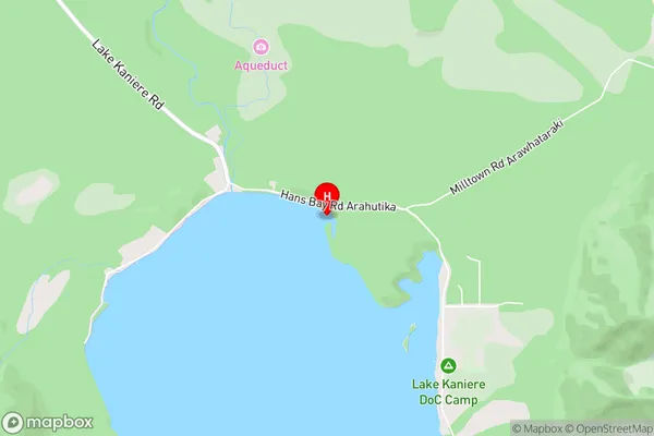
Lake KaniereCanoe Cove Area Map (Street)
Local Authority
Westland DistrictFull Address
Canoe Cove, Westland District, New ZealandAddress Type
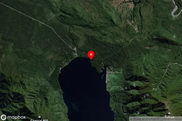
Inland BayCanoe Cove Suburb Map (Satellite)
Country
Main Region in AU
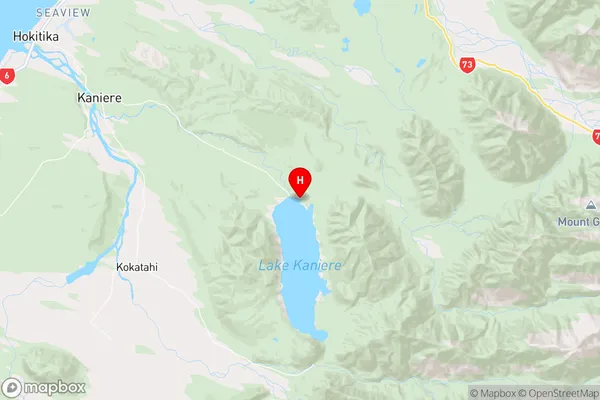
West CoastCanoe Cove Region Map
Coordinates
-42.800391,171.146106 (latitude/longitude)Distances
The distance from Canoe Cove, , Westland District to NZ Top 10 Cities