Canoe Bay Area, Canoe Bay Postcode & Map in Canoe Bay
Canoe Bay Area, Canoe Bay Postcode & Map in Canoe Bay, Marlborough District, New Zealand
Canoe Bay, Marlborough District, New Zealand
Canoe Bay Area (estimated)
0.9 square kilometersCanoe Bay Population (estimated)
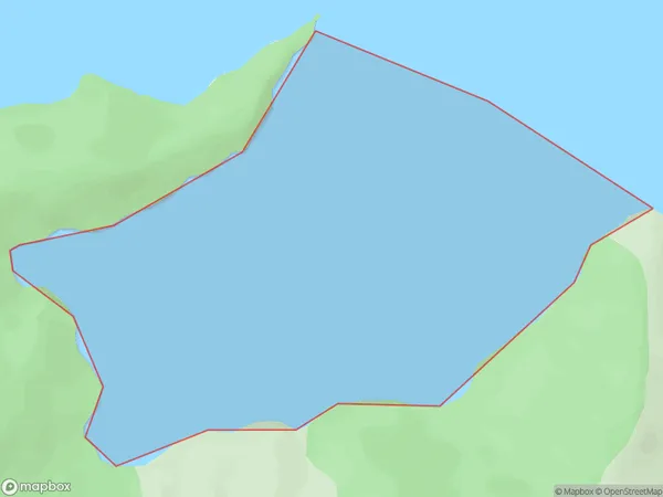
0 people live in Canoe Bay, Marlborough, NZCanoe Bay Suburb Area Map (Polygon)
Canoe Bay Introduction
Canoe Bay is a popular beach in Marlborough, New Zealand. It is known for its clear waters, sandy beaches, and stunning coastal views. The bay is a popular spot for swimming, kayaking, and paddleboarding, and it is also home to a variety of marine life, including seals and dolphins. The bay is surrounded by picturesque vineyards and olive groves, and it is a popular destination for wine tours and olive tastings.Region
Suburb Name
Canoe BayOther Name(s)
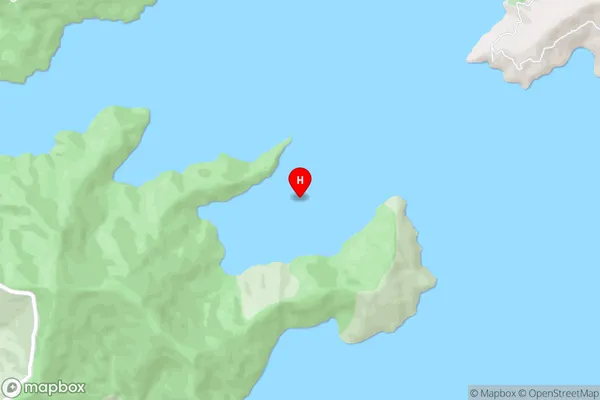
Tawhitinui ReachCanoe Bay Area Map (Street)
Local Authority
Marlborough DistrictFull Address
Canoe Bay, Marlborough District, New ZealandAddress Type
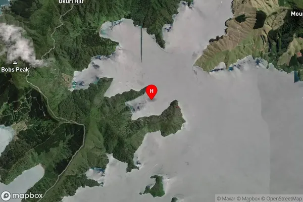
Coastal BayCanoe Bay Suburb Map (Satellite)
Country
Main Region in AU
MarlboroughCanoe Bay Region Map

Coordinates
-41.0270305,173.7990612 (latitude/longitude)Distances
The distance from Canoe Bay, , Marlborough District to NZ Top 10 Cities