Canoe Bay Area, Canoe Bay Postcode & Map in Canoe Bay
Canoe Bay Area, Canoe Bay Postcode & Map in Canoe Bay, Tasman District, New Zealand
Canoe Bay, Tasman District, New Zealand
Canoe Bay Area (estimated)
0.1 square kilometersCanoe Bay Population (estimated)
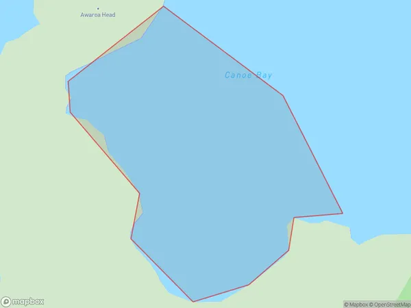
0 people live in Canoe Bay, Tasman, NZCanoe Bay Suburb Area Map (Polygon)
Canoe Bay Introduction
Canoe Bay is a picturesque beach located in Tasman National Park, New Zealand. It is known for its crystal-clear waters, stunning coastal scenery, and opportunities for kayaking, canoeing, and fishing. The bay is surrounded by dense forest and towering mountains, providing a peaceful and secluded environment for visitors to enjoy nature. It is also a popular spot for hiking and wildlife watching, with several tracks leading through the park and offering breathtaking views of the coastline.Region
Suburb Name
Canoe BayOther Name(s)
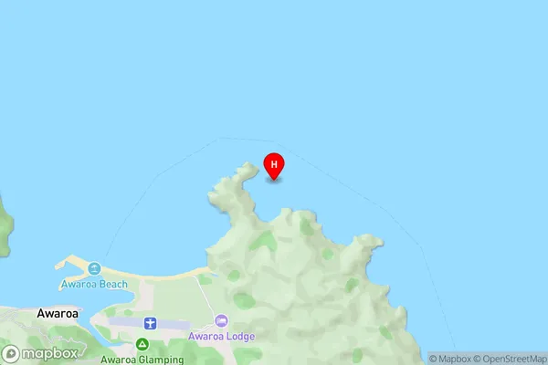
Tasman BayCanoe Bay Area Map (Street)
Local Authority
Tasman DistrictFull Address
Canoe Bay, Tasman District, New ZealandAddress Type
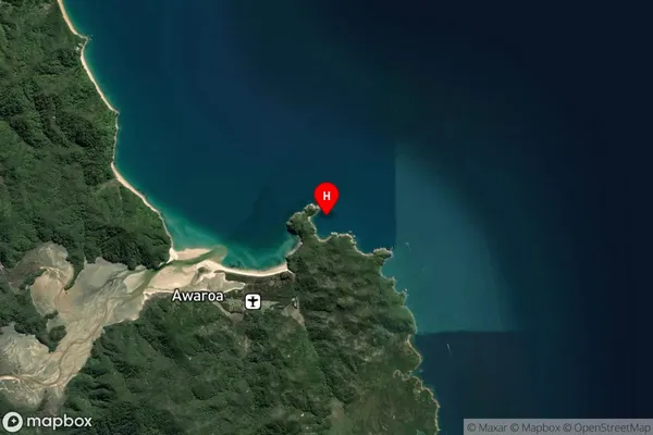
Coastal BayCanoe Bay Suburb Map (Satellite)
Country
Main Region in AU
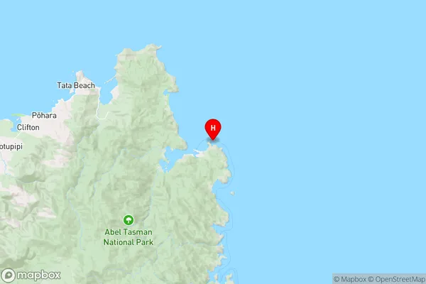
TasmanCanoe Bay Region Map
Coordinates
-40.8528458,173.0479955 (latitude/longitude)Distances
The distance from Canoe Bay, , Tasman District to NZ Top 10 Cities