Cannibal Bay Area, Cannibal Bay Postcode & Map in Cannibal Bay
Cannibal Bay Area, Cannibal Bay Postcode & Map in Cannibal Bay, Area outside Territorial Authority, New Zealand
Cannibal Bay, Area outside Territorial Authority, New Zealand
Cannibal Bay Area (estimated)
0.9 square kilometersCannibal Bay Population (estimated)
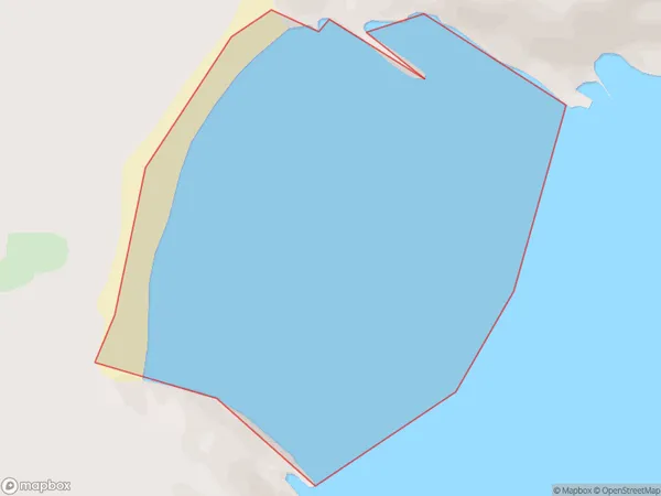
0 people live in Cannibal Bay, Otago, NZCannibal Bay Suburb Area Map (Polygon)
Cannibal Bay Introduction
Cannibal Bay is a small, secluded beach located in the southern region of New Zealand's Otago Peninsula. It is known for its stunning natural beauty, including rugged cliffs, crystal-clear waters, and lush vegetation. The bay is also home to a small community of residents who live in quaint cottages and enjoy the peaceful and tranquil environment. Due to its remote location and limited access, Cannibal Bay is a popular destination for those seeking a peaceful and relaxing getaway.Region
Suburb Name
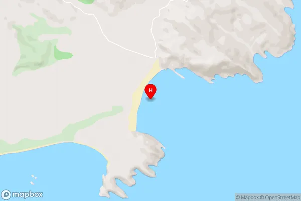
Cannibal BayCannibal Bay Area Map (Street)
Local Authority
Area outside Territorial AuthorityFull Address
Cannibal Bay, Area outside Territorial Authority, New ZealandAddress Type
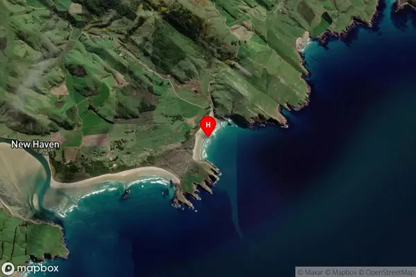
Coastal BayCannibal Bay Suburb Map (Satellite)
Country
Main Region in AU
OtagoCannibal Bay Region Map

Coordinates
-46.4710286,169.7571522 (latitude/longitude)Distances
The distance from Cannibal Bay, , Area outside Territorial Authority to NZ Top 10 Cities