Camp Bay Area, Camp Bay Postcode & Map in Camp Bay
Camp Bay Area, Camp Bay Postcode & Map in Camp Bay, Southland District,
Camp Bay, Southland District,
Camp Bay Area (estimated)
0.3 square kilometersCamp Bay Population (estimated)
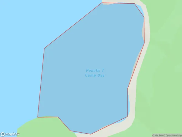
0 people live in Camp Bay, Brighton, NZCamp Bay Suburb Area Map (Polygon)
Region
Major City
Suburb Name
Camp BayOther Name(s)
Lake Te AnauCamp Bay Area Map (Street)
Local Authority
Southland DistrictFull Address
Camp Bay, Southland District,Address Type
Inland BayCamp Bay Suburb Map (Satellite)
Country
Main Region in AU
OtagoCamp Bay Region Map
Coordinates
0,0 (latitude/longitude)Distances
The distance from Camp Bay, , Southland District to NZ Top 10 Cities