Camp Bay Area, Camp Bay Postcode(7811) & Map in Camp Bay
Camp Bay Area, Camp Bay Postcode(7811) & Map in Camp Bay, Westland District, New Zealand
Camp Bay, Westland District, New Zealand
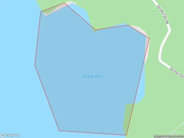
Camp Bay Postcodes
Camp Bay Area (estimated)
0.1 square kilometersCamp Bay Population (estimated)
0 people live in Camp Bay, West Coast, NZCamp Bay Suburb Area Map (Polygon)
Camp Bay Introduction
Camp Bay is a picturesque beach located on the West Coast of New Zealand's South Island. It is known for its stunning natural beauty, including rugged cliffs, golden sand beaches, and crystal-clear turquoise waters. The beach is a popular spot for swimming, surfing, and hiking, and it is surrounded by lush native forests and breathtaking mountain views. Camp Bay is also home to a small community of residents and a popular holiday resort.Region
Suburb Name
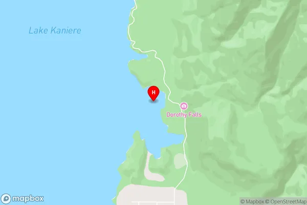
Camp BayOther Name(s)
Lake KaniereCamp Bay Area Map (Street)
Local Authority
Westland DistrictFull Address
Camp Bay, Westland District, New ZealandAddress Type
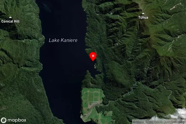
Inland BayCamp Bay Suburb Map (Satellite)
Country
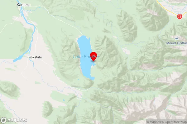
Main Region in AU
West CoastCamp Bay Region Map
Coordinates
-42.8420144,171.1626247 (latitude/longitude)Distances
The distance from Camp Bay, , Westland District to NZ Top 10 Cities