Calm Bay Area, Calm Bay Postcode(9643) & Map in Calm Bay
Calm Bay Area, Calm Bay Postcode(9643) & Map in Calm Bay, Southland District, New Zealand
Calm Bay, Southland District, New Zealand
Calm Bay Postcodes
Calm Bay Area (estimated)
2.2 square kilometersCalm Bay Population (estimated)
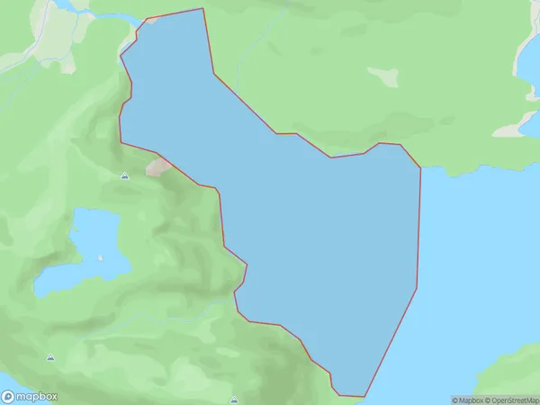
0 people live in Calm Bay, Fiordland Community, NZCalm Bay Suburb Area Map (Polygon)
Calm Bay Introduction
Calm Bay is a small settlement in Southland, New Zealand. It is located on the southern coast of the South Island, about 10 kilometers south of Lumsden. The bay is surrounded by rugged mountains and is known for its calm and peaceful atmosphere. The area is popular with tourists and outdoor enthusiasts for hiking, fishing, and hunting.Region
Major City
Suburb Name
Calm BayOther Name(s)
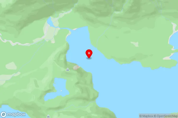
Lake ManapouriCalm Bay Area Map (Street)
Local Authority
Southland DistrictFull Address
Calm Bay, Southland District, New ZealandAddress Type
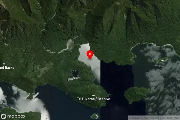
Inland BayCalm Bay Suburb Map (Satellite)
Country
Main Region in AU
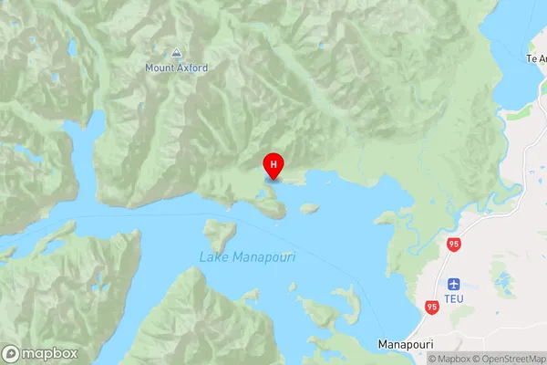
SouthlandCalm Bay Region Map
Coordinates
-45.4798314,167.5138212 (latitude/longitude)Distances
The distance from Calm Bay, , Southland District to NZ Top 10 Cities