Rotokura / Cable Bay Area, Rotokura / Cable Bay Postcode & Map in Rotokura / Cable Bay
Rotokura / Cable Bay Area, Rotokura / Cable Bay Postcode & Map in Rotokura / Cable Bay, Area outside Territorial Authority,
Rotokura / Cable Bay, Area outside Territorial Authority,
Rotokura / Cable Bay Area (estimated)
1.0 square kilometersRotokura / Cable Bay Population (estimated)
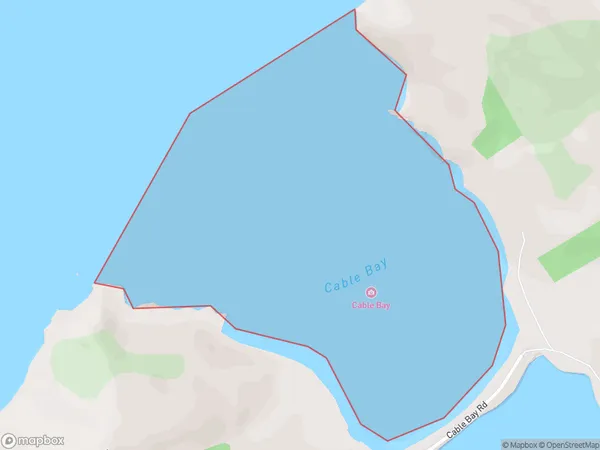
0 people live in Rotokura / Cable Bay, Brighton, NZRotokura / Cable Bay Suburb Area Map (Polygon)
Rotokura / Cable Bay Introduction
Rotokura / Cable Bay is a small settlement on the Otago Peninsula in New Zealand. It is known for its beautiful beaches, clear waters, and stunning coastal scenery. The area is popular with tourists and outdoor enthusiasts, who enjoy activities such as swimming, kayaking, and hiking. There are also several historic buildings in the area, including a former cable station and a lighthouse.Region
Major City
Suburb Name
Rotokura / Cable BayOther Name(s)
Tasman BayRotokura / Cable Bay Area Map (Street)
Local Authority
Area outside Territorial AuthorityFull Address
Rotokura / Cable Bay, Area outside Territorial Authority,Address Type
Coastal BayRotokura / Cable Bay Suburb Map (Satellite)
Country
Main Region in AU
OtagoRotokura / Cable Bay Region Map
Coordinates
0,0 (latitude/longitude)Distances
The distance from Rotokura / Cable Bay, , Area outside Territorial Authority to NZ Top 10 Cities