Browns Refuge Area, Browns Refuge Postcode & Map in Browns Refuge
Browns Refuge Area, Browns Refuge Postcode & Map in Browns Refuge, Area outside Territorial Authority, New Zealand
Browns Refuge, Area outside Territorial Authority, New Zealand
Browns Refuge Area (estimated)
0.3 square kilometersBrowns Refuge Population (estimated)
0 people live in Browns Refuge, West Coast, NZBrowns Refuge Suburb Area Map (Polygon)
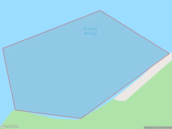
Browns Refuge Introduction
Browns Refuge is a small, sandy beach located on the West Coast of New Zealand's South Island. It is known for its stunning coastal views and is a popular spot for swimming, surfing, and fishing. The refuge is also home to a variety of bird species, including kelp gulls and terns.Region
Suburb Name
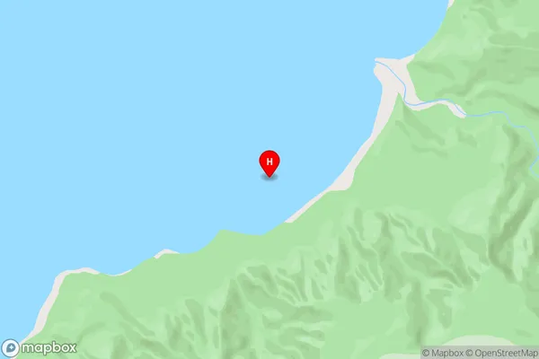
Browns RefugeBrowns Refuge Area Map (Street)
Local Authority
Area outside Territorial AuthorityFull Address
Browns Refuge, Area outside Territorial Authority, New ZealandAddress Type
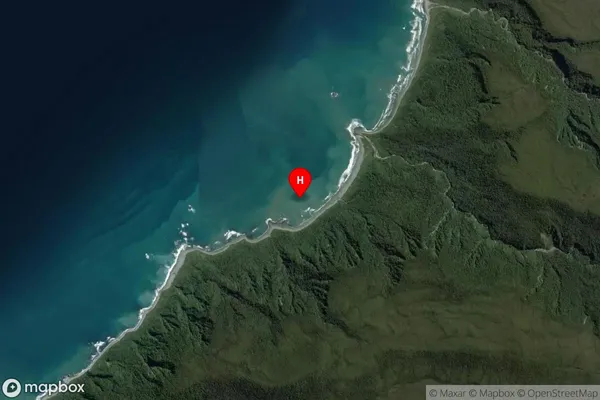
Coastal BayBrowns Refuge Suburb Map (Satellite)
Country
Main Region in AU
West CoastBrowns Refuge Region Map

Coordinates
-44.1544758,168.2453113 (latitude/longitude)Distances
The distance from Browns Refuge, , Area outside Territorial Authority to NZ Top 10 Cities