Broughton Arm Area, Broughton Arm Postcode & Map in Broughton Arm
Broughton Arm Area, Broughton Arm Postcode & Map in Broughton Arm, Southland District,
Broughton Arm, Southland District,
Broughton Arm Area (estimated)
8.9 square kilometersBroughton Arm Population (estimated)
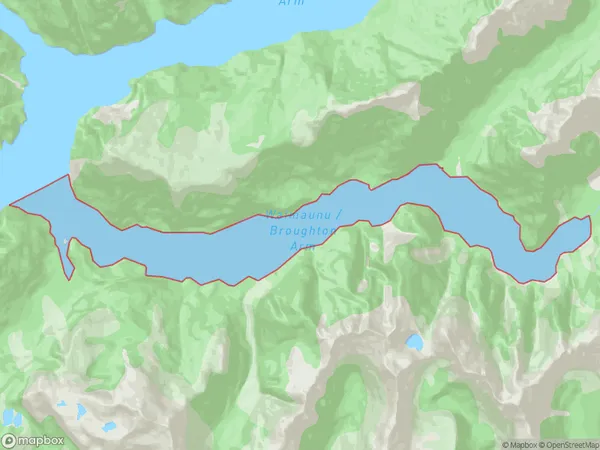
0 people live in Broughton Arm, Brighton, NZBroughton Arm Suburb Area Map (Polygon)
Broughton Arm Introduction
Broughton Arm is a small bay and settlement located in the Otago region of New Zealand. It is situated on the southern shore of Lake Wakatipu, about 20 kilometers south of Queenstown. The area is known for its scenic beauty, including stunning mountain views and peaceful waterways. Broughton Arm is a popular destination for outdoor activities such as hiking, fishing, and boating. The settlement has a small population and a variety of accommodation options, including a hotel and a campground.Region
Major City
Suburb Name
Broughton ArmOther Name(s)
Te Puaitaha / Breaksea SoundBroughton Arm Area Map (Street)
Local Authority
Southland DistrictFull Address
Broughton Arm, Southland District,Address Type
Coastal BayBroughton Arm Suburb Map (Satellite)
Country
Main Region in AU
OtagoBroughton Arm Region Map
Coordinates
0,0 (latitude/longitude)Distances
The distance from Broughton Arm, , Southland District to NZ Top 10 Cities