Brokenshore Bay Area, Brokenshore Bay Postcode & Map in Brokenshore Bay
Brokenshore Bay Area, Brokenshore Bay Postcode & Map in Brokenshore Bay, Southland District, New Zealand
Brokenshore Bay, Southland District, New Zealand
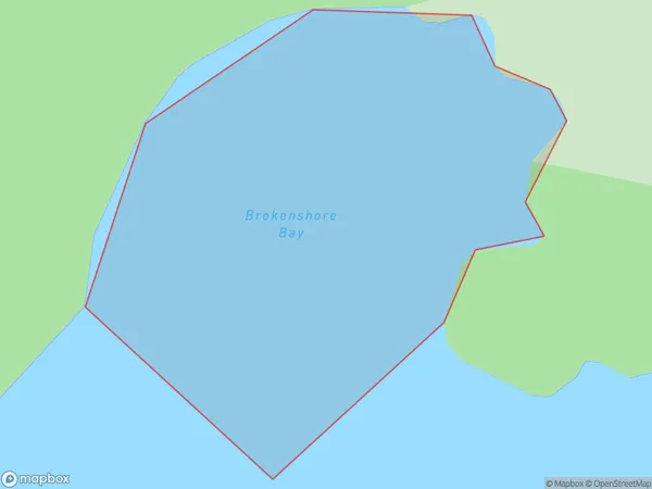
Brokenshore Bay Area (estimated)
0.1 square kilometersBrokenshore Bay Population (estimated)
0 people live in Brokenshore Bay, Southland, NZBrokenshore Bay Suburb Area Map (Polygon)
Brokenshore Bay Introduction
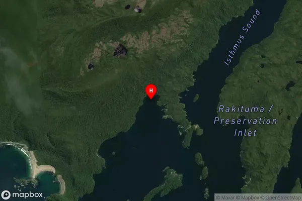
Broken Shore Bay is a small, secluded beach located in Fiordland National Park in Southland, New Zealand. It is known for its stunning natural beauty, including rugged cliffs, crystal-clear waters, and abundant wildlife. The bay is accessible only by a long, winding road, and it offers a peaceful and tranquil environment for those seeking a break from the hustle and bustle of everyday life. Visitors can enjoy hiking, kayaking, and fishing in the area, and there are also several campgrounds and lodges available for those who want to stay overnight.Region
Suburb Name
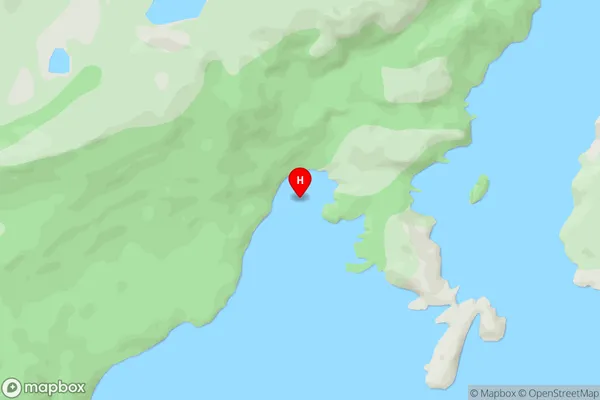
Brokenshore BayOther Name(s)
Rakituma / Preservation InletBrokenshore Bay Area Map (Street)
Local Authority
Southland DistrictFull Address
Brokenshore Bay, Southland District, New ZealandAddress Type
Coastal BayBrokenshore Bay Suburb Map (Satellite)
Country
Main Region in AU
SouthlandBrokenshore Bay Region Map

Coordinates
-46.053111,166.674806 (latitude/longitude)Distances
The distance from Brokenshore Bay, , Southland District to NZ Top 10 Cities