Brightlands Bay Area, Brightlands Bay Postcode & Map in Brightlands Bay
Brightlands Bay Area, Brightlands Bay Postcode & Map in Brightlands Bay, Marlborough District, New Zealand
Brightlands Bay, Marlborough District, New Zealand
Brightlands Bay Area (estimated)
1.0 square kilometersBrightlands Bay Population (estimated)
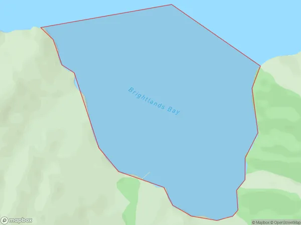
0 people live in Brightlands Bay, Marlborough, NZBrightlands Bay Suburb Area Map (Polygon)
Brightlands Bay Introduction
Brightlands Bay is a popular beach in Marlborough, New Zealand. It is known for its clear waters, sandy beaches, and stunning coastal views. The bay is a popular spot for swimming, sunbathing, and water sports such as kayaking and paddleboarding. There are also several walking trails and picnic areas nearby, making it a great place for a day out with family and friends.Region
Suburb Name
Brightlands BayOther Name(s)
Tawhitinui ReachBrightlands Bay Area Map (Street)

Local Authority
Marlborough DistrictFull Address
Brightlands Bay, Marlborough District, New ZealandAddress Type
Coastal BayBrightlands Bay Suburb Map (Satellite)

Country
Main Region in AU
MarlboroughBrightlands Bay Region Map

Coordinates
-41.0585684,173.855423735634 (latitude/longitude)Distances
The distance from Brightlands Bay, , Marlborough District to NZ Top 10 Cities