Bremner Bay Area, Bremner Bay Postcode(9305) & Map in Bremner Bay
Bremner Bay Area, Bremner Bay Postcode(9305) & Map in Bremner Bay, Queenstown-Lakes District, New Zealand
Bremner Bay, Queenstown-Lakes District, New Zealand
Bremner Bay Postcodes
Bremner Bay Area (estimated)
0.5 square kilometersBremner Bay Population (estimated)
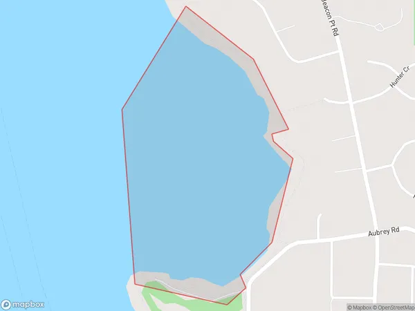
0 people live in Bremner Bay, Otago, NZBremner Bay Suburb Area Map (Polygon)
Bremner Bay Introduction
Bremner Bay is a small settlement in Otago, New Zealand. It is located on the southern shore of Lake Wakatipu, about 30 kilometers south of Queenstown. The bay is named after Captain William Bremner, who was the first European to explore the area in 1842. The bay is a popular spot for fishing, boating, and swimming, and it is also home to a small community of people who live in the surrounding areas.Region
Major City
Suburb Name
Bremner BayOther Name(s)
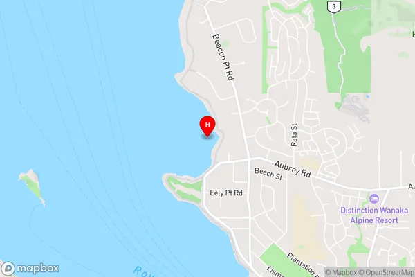
Lake Wanaka (Maori Name: Lake Wānaka)Bremner Bay Area Map (Street)
Local Authority
Queenstown-Lakes DistrictFull Address
Bremner Bay, Queenstown-Lakes District, New ZealandAddress Type
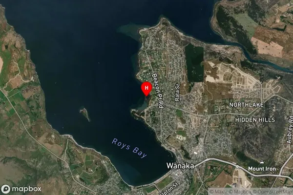
Inland BayBremner Bay Suburb Map (Satellite)
Country
Main Region in AU
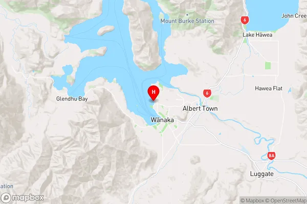
OtagoBremner Bay Region Map
Coordinates
-44.6770871,169.1246006 (latitude/longitude)Distances
The distance from Bremner Bay, , Queenstown-Lakes District to NZ Top 10 Cities