Bradeys Bay Area, Bradeys Bay Postcode(5022) & Map in Bradeys Bay
Bradeys Bay Area, Bradeys Bay Postcode(5022) & Map in Bradeys Bay, Porirua City, New Zealand
Bradeys Bay, Porirua City, New Zealand
Bradeys Bay Postcodes
Bradeys Bay Area (estimated)
0.2 square kilometersBradeys Bay Population (estimated)
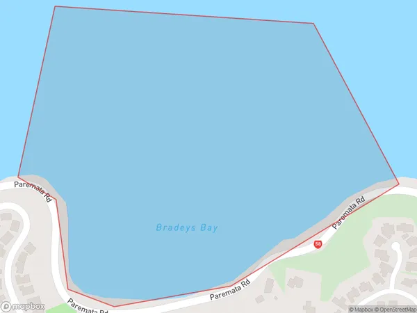
0 people live in Bradeys Bay, Porirua, NZBradeys Bay Suburb Area Map (Polygon)
Bradeys Bay Introduction
Bradeys Bay is a suburb of Wellington, New Zealand, located on the southern shore of Miramar Peninsula. It is known for its peaceful atmosphere, stunning beaches, and picturesque views of the harbor. The area is popular with families and outdoor enthusiasts, with many walking and cycling trails nearby. Bradeys Bay also has a small community center with a library and a community hall.Region
Major City
Suburb Name
Bradeys BayOther Name(s)
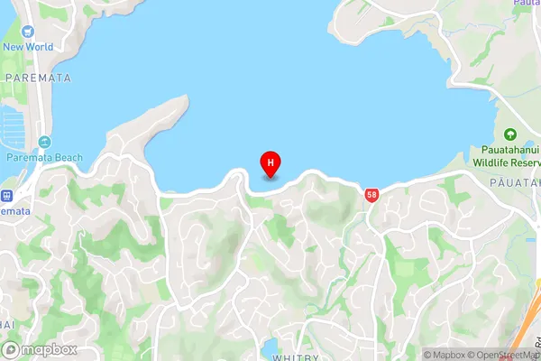
Porirua Harbour (Pauatahanui Arm)Bradeys Bay Area Map (Street)
Local Authority
Porirua CityFull Address
Bradeys Bay, Porirua City, New ZealandAddress Type
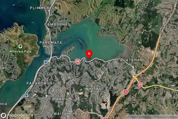
Coastal BayBradeys Bay Suburb Map (Satellite)
Country
Main Region in AU
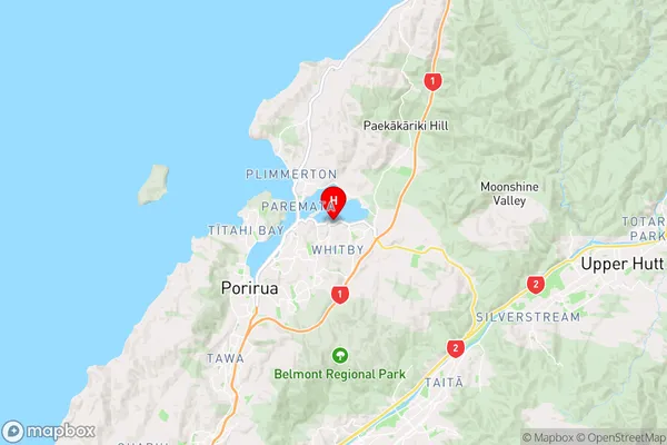
WellingtonBradeys Bay Region Map
Coordinates
-41.104954,174.891706087843 (latitude/longitude)Distances
The distance from Bradeys Bay, , Porirua City to NZ Top 10 Cities