Boundary Bay Area, Boundary Bay Postcode & Map in Boundary Bay
Boundary Bay Area, Boundary Bay Postcode & Map in Boundary Bay, Tasman District, New Zealand
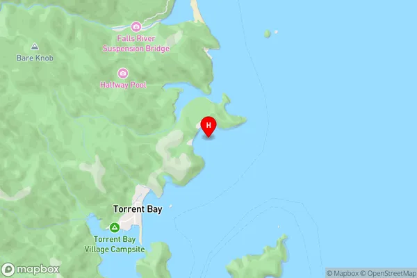
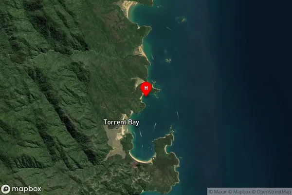
Boundary Bay, Tasman District, New Zealand
Boundary Bay Area (estimated)
-1.2 square kilometersBoundary Bay Population (estimated)
0 people live in Boundary Bay, Tasman, NZBoundary Bay Suburb Area Map (Polygon)
Not available for nowBoundary Bay Introduction
Boundary Bay is a small settlement on the Tasman Peninsula in New Zealand. It is located about 45 minutes south of Nelson and 2 hours north of Wellington. The area is known for its scenic beaches, rugged coastline, and tranquil environment. Boundary Bay has a population of around 1,000 people and is a popular destination for tourists and outdoor enthusiasts. The settlement is surrounded by native forests and has a number of walking and hiking trails. There is also a small airport in the area, which provides services to the region.Region
Suburb Name
Boundary BayOther Name(s)
Tasman BayBoundary Bay Area Map (Street)
Local Authority
Tasman DistrictFull Address
Boundary Bay, Tasman District, New ZealandAddress Type
Coastal BayBoundary Bay Suburb Map (Satellite)
Country
Main Region in AU
TasmanBoundary Bay Region Map

Coordinates
-40.9392668,173.0575613 (latitude/longitude)Distances
The distance from Boundary Bay, , Tasman District to NZ Top 10 Cities