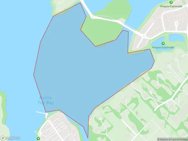
Bottle Top Bay Area, Bottle Top Bay Postcode(2580) & Map in Bottle Top Bay
Bottle Top Bay Area, Bottle Top Bay Postcode(2580) & Map in Bottle Top Bay, Auckland, New Zealand
Bottle Top Bay, Auckland, New Zealand
Bottle Top Bay Postcodes
Bottle Top Bay Area (estimated)
0.4 square kilometersBottle Top Bay Population (estimated)
0 people live in Bottle Top Bay, Papakura, NZBottle Top Bay Suburb Area Map (Polygon)
Bottle Top Bay Introduction
Bottle Top Bay is a beach located in Auckland, New Zealand. It is known for its unique bottle-shaped rock formations and crystal-clear waters. The beach is a popular spot for swimming, sunbathing, and picnicking, and it is surrounded by lush green hills and stunning coastal views.Region
Major City
Suburb Name
Bottle Top BayOther Name(s)
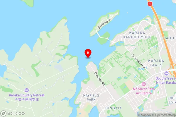
Pahurehure Inlet, Manukau HarbourBottle Top Bay Area Map (Street)
Local Authority
AucklandFull Address
Bottle Top Bay, Auckland, New ZealandAddress Type
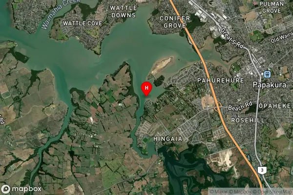
Coastal BayBottle Top Bay Suburb Map (Satellite)
Country
Main Region in AU
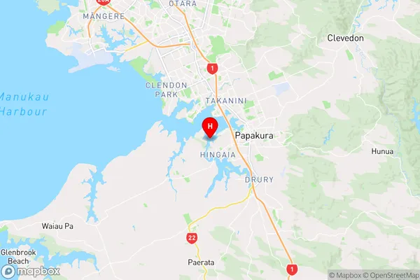
AucklandBottle Top Bay Region Map
Coordinates
-37.0709416,174.903873 (latitude/longitude)Distances
The distance from Bottle Top Bay, , Auckland to NZ Top 10 Cities