Bottle Bay Area, Bottle Bay Postcode(7282) & Map in Bottle Bay
Bottle Bay Area, Bottle Bay Postcode(7282) & Map in Bottle Bay, Marlborough District, New Zealand
Bottle Bay, Marlborough District, New Zealand
Bottle Bay Postcodes
Bottle Bay Area (estimated)
0.3 square kilometersBottle Bay Population (estimated)
0 people live in Bottle Bay, Marlborough, NZBottle Bay Suburb Area Map (Polygon)
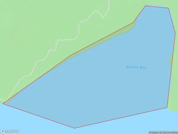
Bottle Bay Introduction
Bottle Bay is a picturesque beach located in Marlborough, New Zealand. It is known for its clear waters, stunning sunsets, and beautiful sand dunes. The beach is a popular spot for swimming, sunbathing, and water sports such as surfing and kayaking. It is also home to a variety of wildlife, including seals and penguins. Bottle Bay is a must-visit destination for anyone visiting Marlborough and the South Island of New Zealand.Region
Suburb Name
Bottle BayOther Name(s)
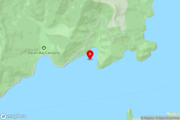
Grove Arm, Queen Charlotte Sound (Totaranui)Bottle Bay Area Map (Street)
Local Authority
Marlborough DistrictFull Address
Bottle Bay, Marlborough District, New ZealandAddress Type
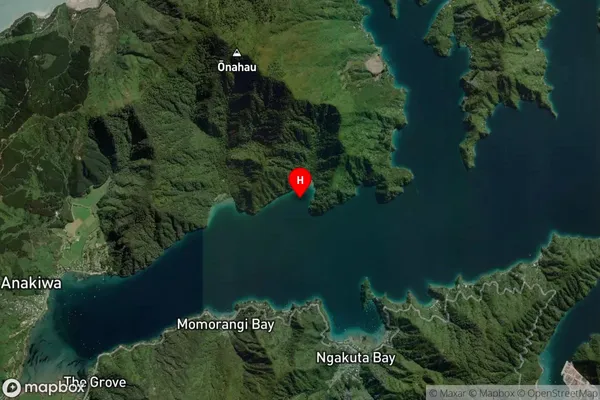
Coastal BayBottle Bay Suburb Map (Satellite)
Country
Main Region in AU
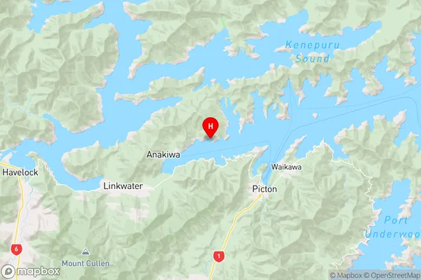
MarlboroughBottle Bay Region Map
Coordinates
-41.2548055,173.953981 (latitude/longitude)Distances
The distance from Bottle Bay, , Marlborough District to NZ Top 10 Cities