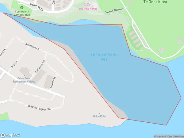
Tahingamanu Bay Area, Tahingamanu Bay Postcode(0618) & Map in Tahingamanu Bay
Tahingamanu Bay Area, Tahingamanu Bay Postcode(0618) & Map in Tahingamanu Bay, Auckland, New Zealand
Tahingamanu Bay, Auckland, New Zealand
Tahingamanu Bay Postcodes
Tahingamanu Bay Area (estimated)
0.1 square kilometersTahingamanu Bay Population (estimated)
0 people live in Tahingamanu Bay, Upper Harbour, NZTahingamanu Bay Suburb Area Map (Polygon)
Tahingamanu Bay Introduction
Tahingamanu Bay is a picturesque beach located in Auckland, New Zealand. It is known for its clear waters, stunning coastal views, and diverse marine life. The bay is a popular spot for swimming, snorkeling, and kayaking, and it is also home to a small community of native birds. The area is surrounded by lush green forests and offers a peaceful and tranquil environment away from the hustle and bustle of the city.Region
Major City
Suburb Name
Tahingamanu BayOther Name(s)
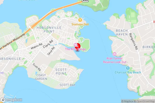
Waitemata Harbour, Hauraki Gulf, Bomb Bay (Maori Name: Waitematā Harbour, Hauraki Gulf, Bomb Bay)Tahingamanu Bay Area Map (Street)
Local Authority
AucklandFull Address
Tahingamanu Bay, Auckland, New ZealandAddress Type
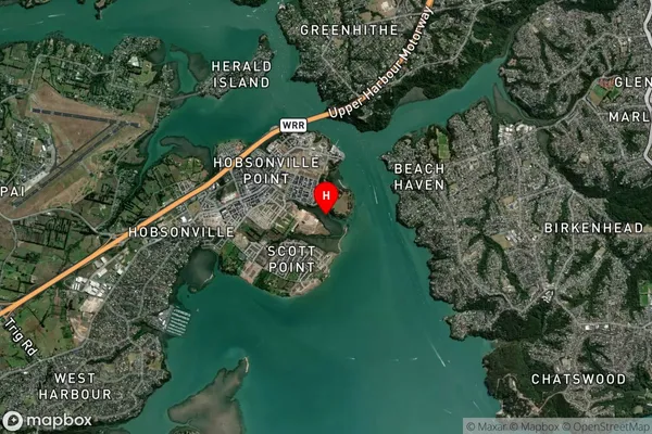
Coastal BayTahingamanu Bay Suburb Map (Satellite)
Country
Main Region in AU
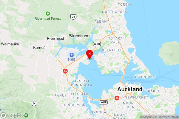
AucklandTahingamanu Bay Region Map
Coordinates
-36.7972991,174.6702779 (latitude/longitude)Distances
The distance from Tahingamanu Bay, , Auckland to NZ Top 10 Cities