Boat Harbour Area, Boat Harbour Postcode & Map in Boat Harbour
Boat Harbour Area, Boat Harbour Postcode & Map in Boat Harbour, Southland District, New Zealand
Boat Harbour, Southland District, New Zealand
Boat Harbour Area (estimated)
1.5 square kilometersBoat Harbour Population (estimated)
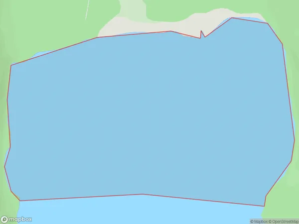
0 people live in Boat Harbour, Tuatapere Te Waewae Community, NZBoat Harbour Suburb Area Map (Polygon)
Boat Harbour Introduction
Boat Harbour is a small coastal settlement in Southland, New Zealand. It is located on the southern shore of Lake Wakatipu, about 10 kilometers south of Gore. The settlement is known for its scenic surroundings, including the lake and the surrounding mountains. It is a popular destination for fishing, boating, and hiking. The Boat Harbour Cafe is a popular spot for locals and tourists to enjoy a meal or a drink.Region
Major City
Suburb Name
Boat HarbourOther Name(s)
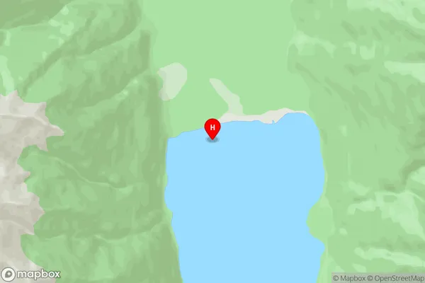
Monowai LakeBoat Harbour Area Map (Street)
Local Authority
Southland DistrictFull Address
Boat Harbour, Southland District, New ZealandAddress Type
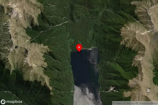
Inland BayBoat Harbour Suburb Map (Satellite)
Country
Main Region in AU
SouthlandBoat Harbour Region Map

Coordinates
-45.836028,167.349611 (latitude/longitude)Distances
The distance from Boat Harbour, , Southland District to NZ Top 10 Cities