Boat Bay Area, Boat Bay Postcode(3611) & Map in Boat Bay
Boat Bay Area, Boat Bay Postcode(3611) & Map in Boat Bay, Area outside Territorial Authority, New Zealand
Boat Bay, Area outside Territorial Authority, New Zealand
Boat Bay Postcodes
Boat Bay Area (estimated)
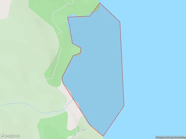
0.3 square kilometersBoat Bay Population (estimated)
0 people live in Boat Bay, Waikato, NZBoat Bay Suburb Area Map (Polygon)
Boat Bay Introduction
Boat Bay is a small settlement on the Waikato coast of New Zealand. It is located about 15 km south of Otorohanga and 25 km north of Hamilton. The bay is a popular spot for fishing, swimming, and boating, and has a small beach and a campground. The area is also known for its scenic views and rich cultural heritage, with several historic buildings and sites located nearby.Region
Suburb Name
Boat BayOther Name(s)
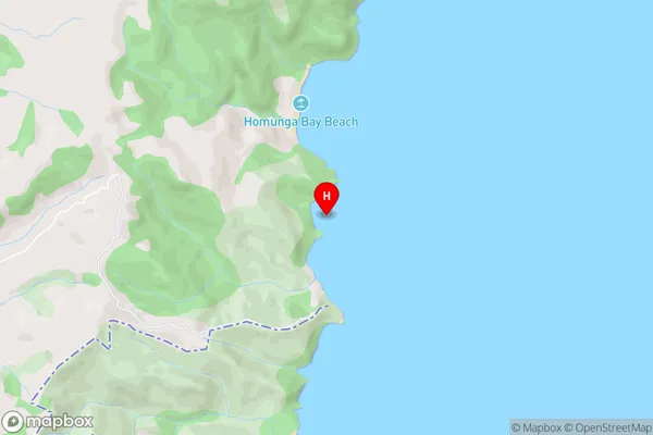
Bay Of PlentyBoat Bay Area Map (Street)
Local Authority
Area outside Territorial AuthorityFull Address
Boat Bay, Area outside Territorial Authority, New ZealandAddress Type
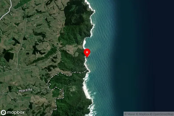
Coastal BayBoat Bay Suburb Map (Satellite)
Country
Main Region in AU
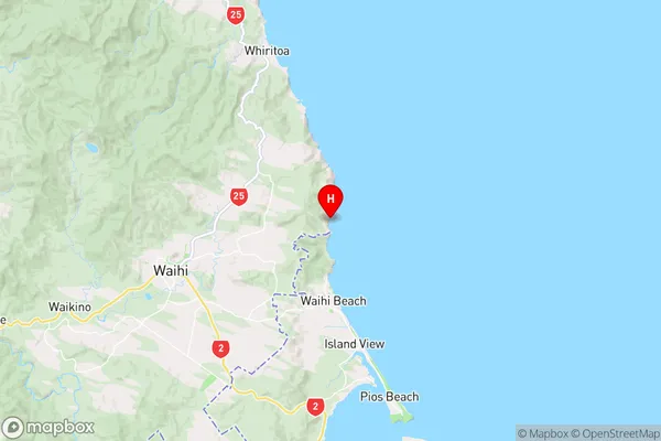
WaikatoBoat Bay Region Map
Coordinates
-37.367694,175.939944 (latitude/longitude)Distances
The distance from Boat Bay, , Area outside Territorial Authority to NZ Top 10 Cities