Blockhouse Bay Area, Blockhouse Bay Postcode(0600) & Map in Blockhouse Bay
Blockhouse Bay Area, Blockhouse Bay Postcode(0600) & Map in Blockhouse Bay, Auckland, New Zealand
Blockhouse Bay, Auckland, New Zealand
Blockhouse Bay Area (estimated)
0.4 square kilometersBlockhouse Bay Population (estimated)
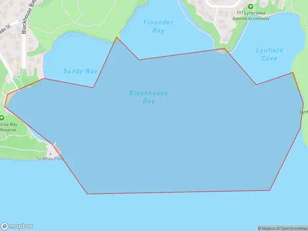
16810 people live in Blockhouse Bay, Whau, NZBlockhouse Bay Suburb Area Map (Polygon)
Blockhouse Bay Introduction
Blockhouse Bay is a suburb of Auckland, New Zealand, located on the southern shores of the Waitematā Harbour. It is known for its beachfront properties, large parks, and vibrant community. The area has a rich history, with several historic buildings and landmarks, including the Blockhouse Bay Museum and the Blockhouse Bay Library. It is also home to a popular shopping district, with a variety of stores and restaurants.Region
Major City
Suburb Name
Blockhouse BayOther Name(s)
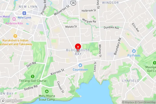
Manukau HarbourBlockhouse Bay Area Map (Street)
Local Authority
AucklandFull Address
Blockhouse Bay, Auckland, New ZealandAddress Type
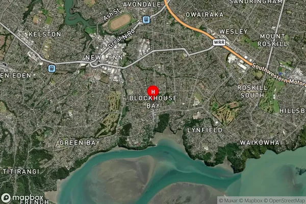
Coastal BayBlockhouse Bay Suburb Map (Satellite)
Country
Main Region in AU
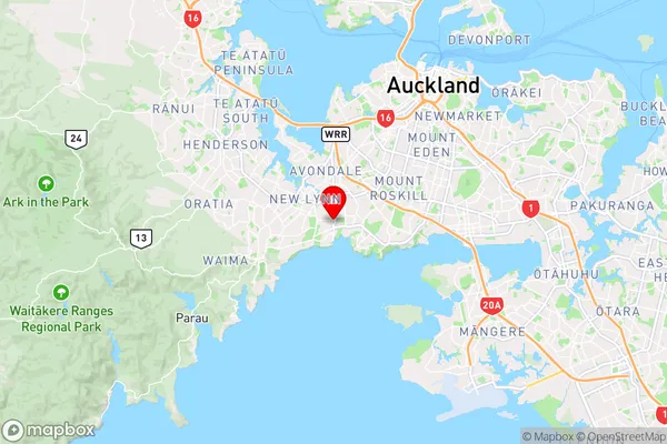
AucklandBlockhouse Bay Region Map
Coordinates
-36.9197769,174.70147 (latitude/longitude)Distances
The distance from Blockhouse Bay, , Auckland to NZ Top 10 Cities